Randonnée Marche Embres-et-Castelmaure - TBG ACAD Embrres Castelnau final - Photo

TBG ACAD Embrres Castelnau final

 Taupunzien
Taupunzien

Utilisateur

© OpenStreetMap contributors
Longueur
Longueur
18 km
Altitude max
Altitude max
461 m
Dénivelé positif
Dénivelé positif
583 m
Km-Effort
Km-Effort  
26 km
Altitude min
Altitude min
172 m
Dénivelé négatif
Dénivelé négatif
585 m
Boucle
Boucle
Oui
Date de création :
2023-10-14 08:03:12.495
Dernière modification :
2023-10-14 13:44:36.248

(1 Avis)

Marche
Marche
4h38
Difficulté : Très difficile

Scannez ce code QR pour ouvrir la randonnée dans l'application SityTrail

Application GPS de randonnée GRATUITE

Logo SityTrail SityTrail

IGN / Instituts géographiques

Télécharger SityTrail sur l'App Store Télécharger SityTrail sur Google Play

Logo SityTrail SityTrail World

Le monde est à vous

Télécharger SityTrail sur l'App Store Télécharger SityTrail sur Google Play Télécharger SityTrail sur Huawei AppGallery

À propos

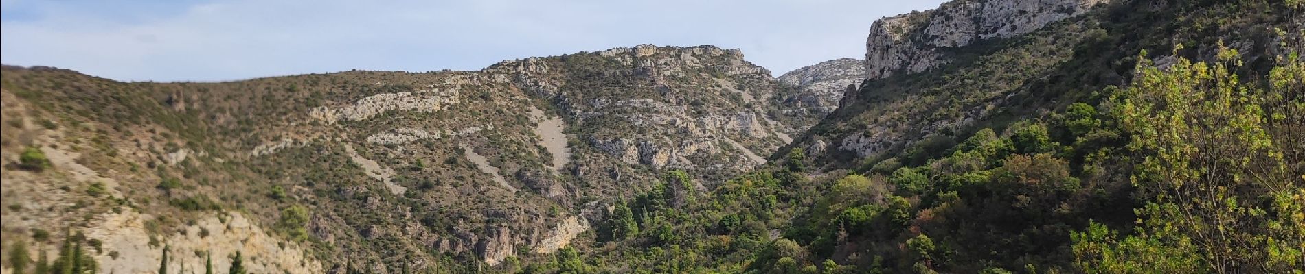
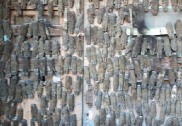
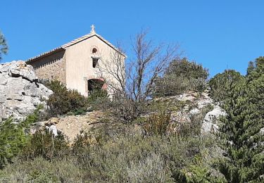
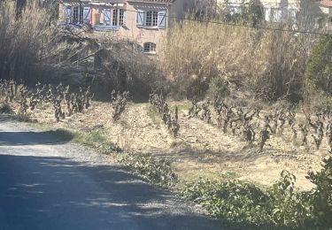
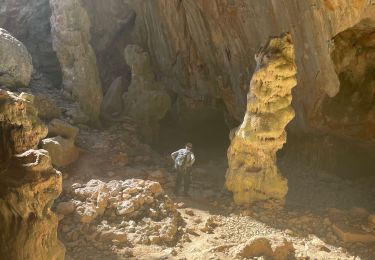
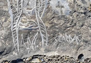
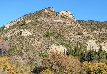
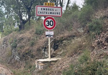
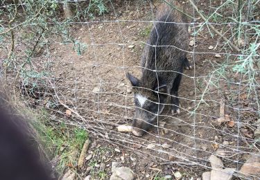
Randonnée Marche de 18 km à découvrir à Occitanie, Aude, Embres-et-Castelmaure. Cette randonnée est proposée par Taupunzien .

Profil altimétrique

Photos

Localisation

Pays :
France
Région :
Occitanie
Département/Province :
Aude
Commune :
Embres-et-Castelmaure
Localité :
Unknown
Départ:(UTM)
484690 ; 4754046 (31T) N.

Commentaires

Veuillez vous connecter pour laisser un commentaire ou une note


Randonnées à proximité

Randonnée Marche Villeneuve-les-Corbières - La Récaoufa ou Ste Raphine  - Photo
Marche
jcmartin

Marche

Moyen
(1)
Villeneuve-les-Corbières, Occitanie, Aude, France
19 km | 27 km-effort
5h 37min
Oui
Randonnée Marche Opoul-Périllos - station meteo perillos - Photo
Marche
merencianoep

Marche

Moyen
(1)
Opoul-Périllos, Occitanie, Pyrénées-Orientales, France
11 km | 15,8 km-effort
2h 36min
Oui
Randonnée Marche Opoul-Périllos - perillos - Photo
Marche
66Gribouille83

Marche

Difficile
Opoul-Périllos, Occitanie, Pyrénées-Orientales, France
11,1 km | 15,6 km-effort
5h 41min
Non
Randonnée Marche Embres-et-Castelmaure - Embres et Castelmaure - Photo
Marche
ombrabella

Marche

Moyen
Embres-et-Castelmaure, Occitanie, Aude, France
11,2 km | 14,6 km-effort
3h 0min
Oui
Randonnée Marche Opoul-Périllos - Opium pétillons - Photo
Marche
ombrabella

Marche

Moyen
Opoul-Périllos, Occitanie, Pyrénées-Orientales, France
12,8 km | 18,8 km-effort
3h 38min
Oui
Randonnée Marche Opoul-Périllos - périole 31-01-2024 - Photo
Marche
Taupunzien

Marche

Difficile
Opoul-Périllos, Occitanie, Pyrénées-Orientales, France
11 km | 17,1 km-effort
3h 42min
Oui
Randonnée Marche Embres-et-Castelmaure - Embres castelmaure - Photo
Marche
Taupunzien

Marche

Très difficile
Embres-et-Castelmaure, Occitanie, Aude, France
17,9 km | 26 km-effort
4h 35min
Oui
Randonnée Marche Embres-et-Castelmaure - Ambres et Castelmaure 18/10/2023 - Photo
Marche
andre66

Marche

Moyen
Embres-et-Castelmaure, Occitanie, Aude, France
11,1 km | 15,6 km-effort
3h 22min
Oui
Randonnée Marche Embres-et-Castelmaure - Embers et Castelmore - Photo
Marche
robertperello

Marche

Moyen
Embres-et-Castelmaure, Occitanie, Aude, France
11,2 km | 15,9 km-effort
3h 23min
Oui


Fermer
Mes abonnements