


12,4 km | 14,7 km-effort


Utilisateur


Application GPS de randonnée GRATUITE
 SityTrail
IGN / Instituts géographiques
SityTrail World
Le monde est à vous
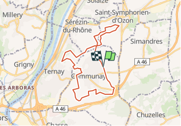
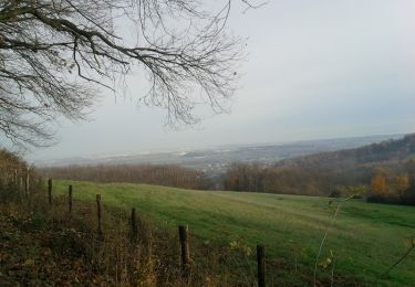
Randonnée Marche de 16 km à découvrir à Auvergne-Rhône-Alpes, Rhône, Communay. Cette randonnée est proposée par AlixJ3.
vers St Symphorien et le Grand clos Ternay
Marche

Marche
Marche
V.T.T.
V.T.T.
V.T.T.
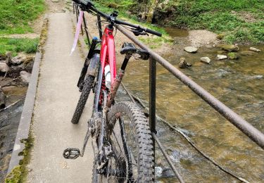
V.T.T.
Marche
Marche