


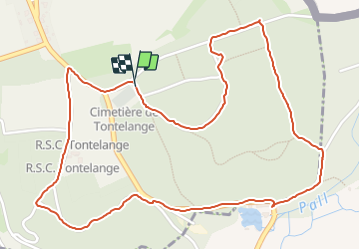

5,8 km | 7,2 km-effort

Utilisateur


Application GPS de randonnée GRATUITE
 SityTrail
IGN / Instituts géographiques
SityTrail World
Le monde est à vous
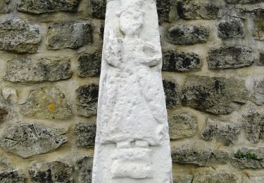
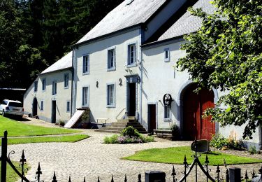
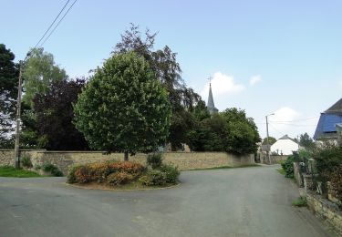
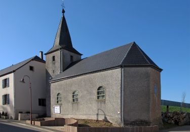
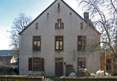
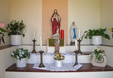
Randonnée Marche de 3,1 km à découvrir à Wallonie, Luxembourg, Attert. Cette randonnée est proposée par jeremy.paque.

Marche
Marche
A pied
A pied
A pied
A pied
A pied

Marche
A pied