


11,3 km | 15,6 km-effort


Utilisateur


Application GPS de randonnée GRATUITE
 SityTrail
IGN / Instituts géographiques
SityTrail World
Le monde est à vous
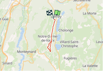
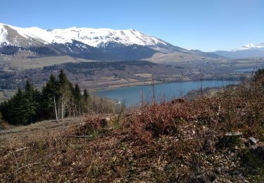
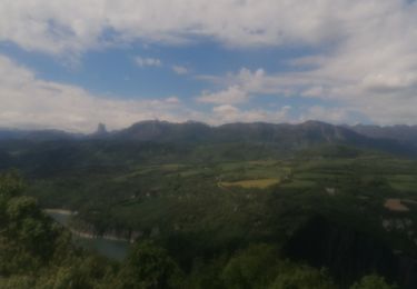
Randonnée Marche de 14,2 km à découvrir à Auvergne-Rhône-Alpes, Isère, Saint-Jean-de-Vaulx. Cette randonnée est proposée par Luc Saint-guillain.
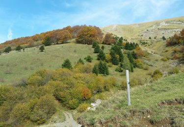
Boucle partielle avec bifurcation à droite au Bouchet (1150 m) vers le sud-ouest, direction La Motte d'Aveillans.
Nouvelle bifurcation au niveau du Crêt (1133 m), cette fois en direction du sud-est et de la Pierre Percée.
Retour par la crête.
Marche
Marche
Marche
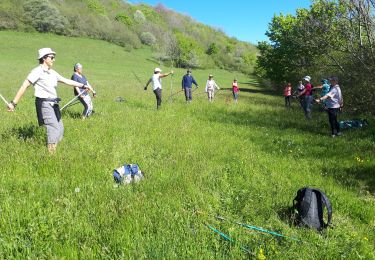
Marche nordique
Marche
Marche

Marche
Marche
V.T.C.