


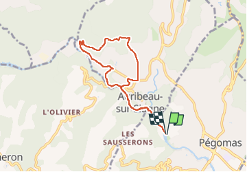

12 km | 17,8 km-effort


Utilisateur


Application GPS de randonnée GRATUITE
 SityTrail
IGN / Instituts géographiques
SityTrail World
Le monde est à vous
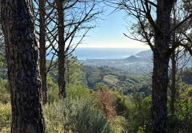
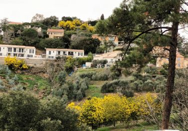
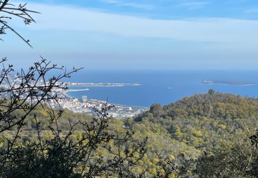
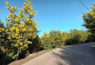
Randonnée Marche de 7,9 km à découvrir à Provence-Alpes-Côte d'Azur, Alpes-Maritimes, Pégomas. Cette randonnée est proposée par marcheetnature.
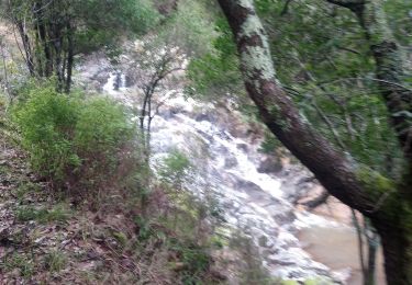
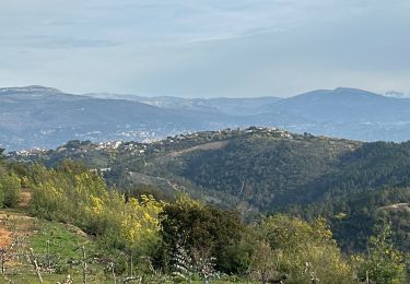
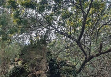
superbe rando d'abord le long de la Siagne puis après une bonne montée, sur les hauteurs de Auribeau sur Siagne avec comme point de vue l'immense forêt des mimosas en fleurs
Marche

Marche

sport
Marche
sport
Marche
Marche
Marche
A pied