


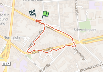

11,4 km | 15,4 km-effort


Utilisateur


Application GPS de randonnée GRATUITE
 SityTrail
IGN / Instituts géographiques
SityTrail World
Le monde est à vous
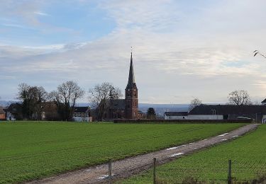
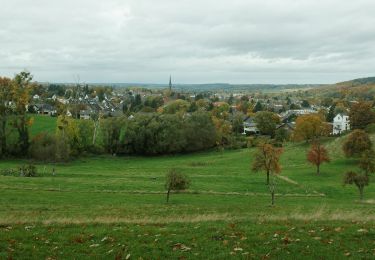
Randonnée de 852 m à découvrir à Rhénanie-du-Nord-Westphalie, Région urbaine d'Aix-la-Chapelle, Aix-la-Chapelle. Cette randonnée est proposée par 000566.2d292bf3edb84ca29b2630d20493cbcc.1017.

Marche
Marche

A pied

A pied
A pied

A pied
A pied
A pied
A pied