


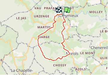


14 km | 19,7 km-effort

Utilisateur


Application GPS de randonnée GRATUITE
 SityTrail
IGN / Instituts géographiques
SityTrail World
Le monde est à vous
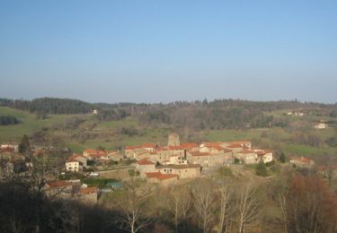
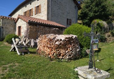
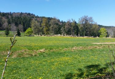
Randonnée Marche de 13,7 km à découvrir à Auvergne-Rhône-Alpes, Loire, Soleymieux. Cette randonnée est proposée par dudu42.
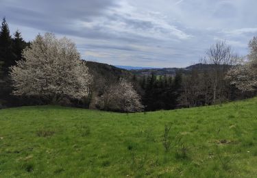
Très beaux panoramas sur le parcours.
Sous bois superbes avec le chant des oiseaux.
Une bonne partie du dénivelé positif est au début du parcours.
Un peu de bitume vers la fin mais presque pas de circulation.


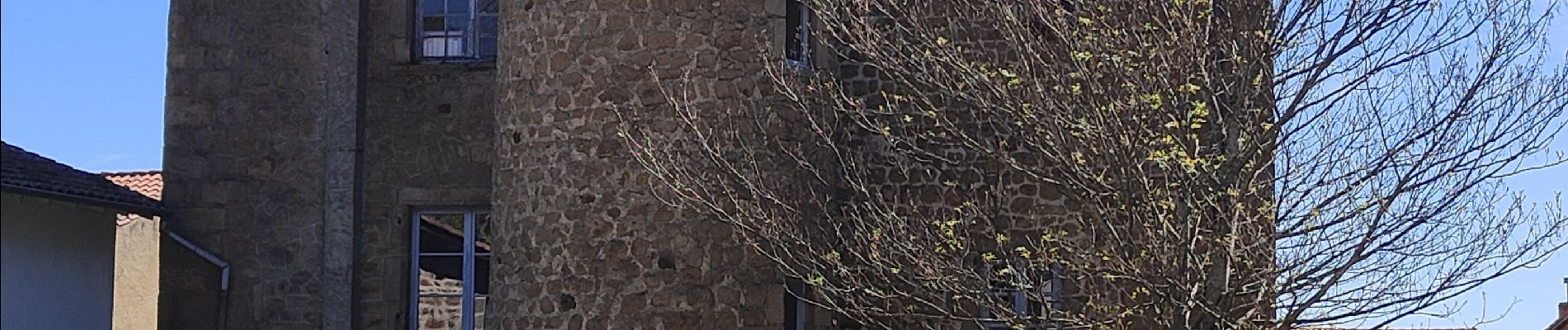
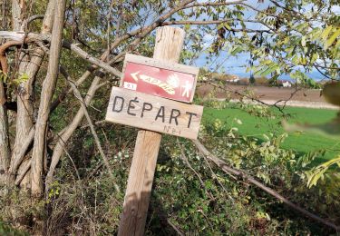
34 photos au total. Cliquez sur une photo pour les afficher toutes dans la galerie.
Marche
Marche
V.T.T.
Marche
Marche

Marche
Marche
Marche
Marche