


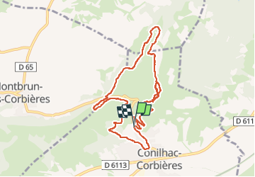

9,3 km | 11,6 km-effort


Utilisateur

Application GPS de randonnée GRATUITE
 SityTrail
IGN / Instituts géographiques
SityTrail World
Le monde est à vous
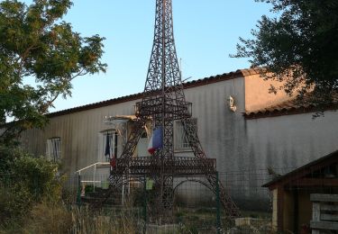
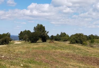
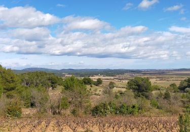
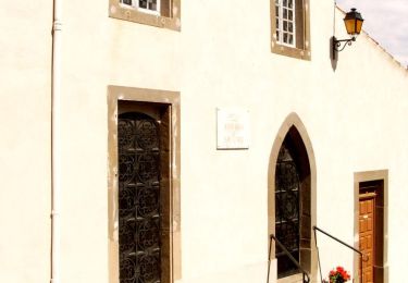
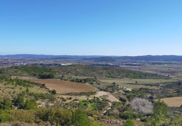
Randonnée Marche de 10,6 km à découvrir à Occitanie, Aude, Conilhac-Corbières. Cette randonnée est proposée par DENNEBECQ.

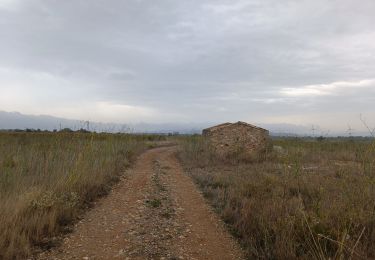
Marche
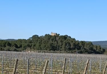
Marche
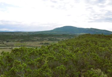
Marche
Marche
Marche
Marche
Marche
Marche
Marche