


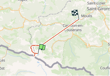


32 km | 63 km-effort

Utilisateur


Application GPS de randonnée GRATUITE
 SityTrail
IGN / Instituts géographiques
SityTrail World
Le monde est à vous
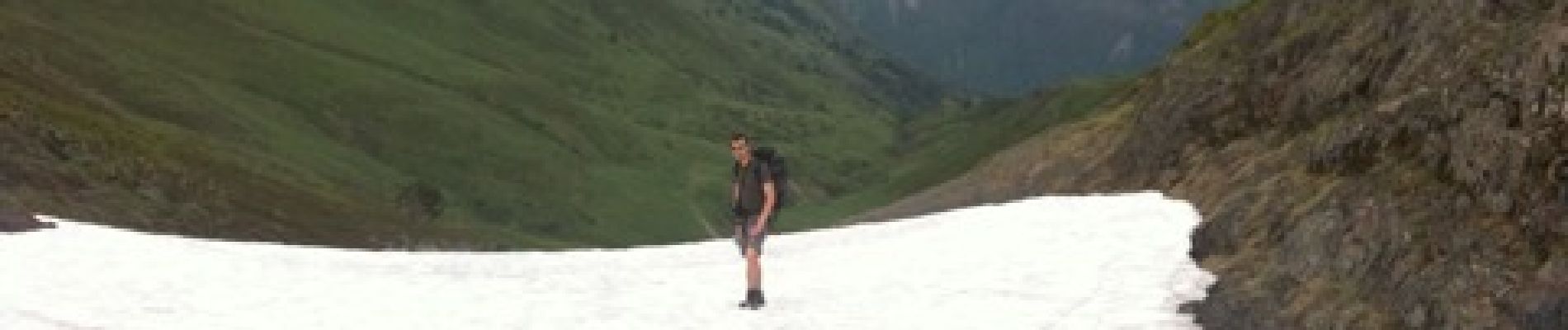
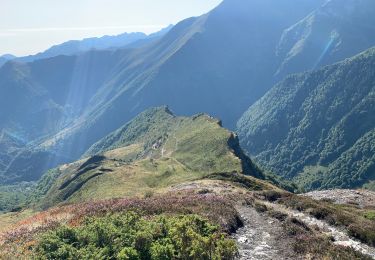
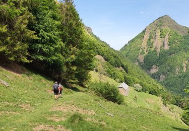
Randonnée Marche de 32 km à découvrir à Occitanie, Ariège, Sentein. Cette randonnée est proposée par istmuso.


Marche
Marche
Marche
Marche
Marche
Marche

A pied
Marche
Marche
Randonnée inexploitable a ne pas publier mais à garder en mode privé