


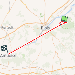

8,2 km | 8,9 km-effort

Utilisateur


Application GPS de randonnée GRATUITE
 SityTrail
IGN / Instituts géographiques
SityTrail World
Le monde est à vous
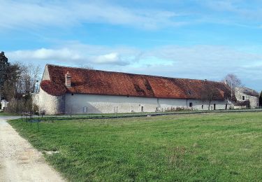
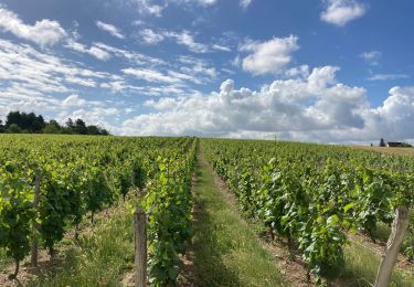
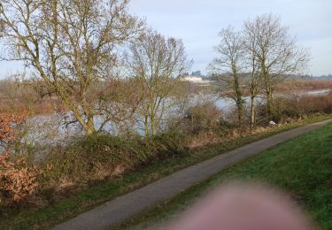
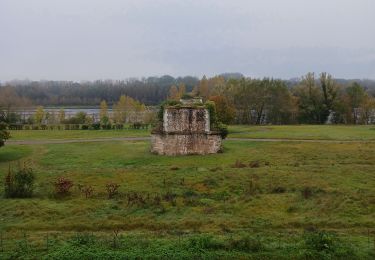
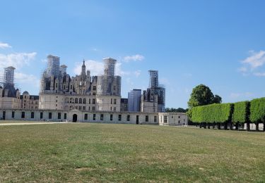
Randonnée Marche de 59 km à découvrir à Centre-Val de Loire, Loir-et-Cher, Huisseau-sur-Cosson. Cette randonnée est proposée par Samuel88300.
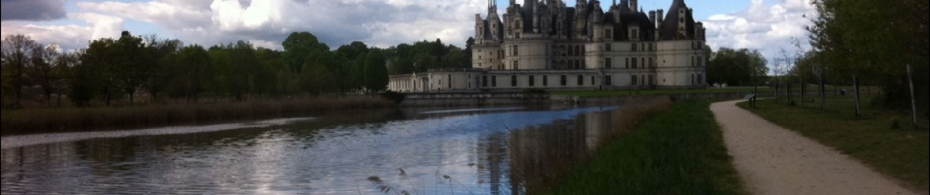
Découverte du domaine et du château de Chambord au départ de La Chaussée-le-Comte


A pied
A pied
A pied

A pied
Vélo électrique

V.T.T.
Marche
Marche
Marche
comporte un déplacement sans capture en voiture sans doute