


Loksbergen

Geert H.
Utilisateur
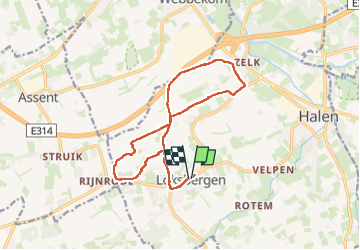

Longueur
14,1 km

Altitude max
78 m

Dénivelé positif
151 m
Km-Effort
16,1 km

Altitude min
23 m

Dénivelé négatif
152 m
Boucle
Oui
Date de création :
2024-09-21 08:45:59.445
Dernière modification :
2024-09-22 08:13:29.008
2h52
Difficulté : Très facile

Application GPS de randonnée GRATUITE
 SityTrail
IGN / Instituts géographiques
SityTrail Plus
Le monde est à vous
À propos
Randonnée Marche de 14,1 km à découvrir à Flandre, Limbourg, Halen. Cette randonnée est proposée par Geert H..
Description
Wandeling uit het Groot Wandelboek Vlaanderen.
Mooie wandeling in het rustige Loksbergen in het Hageland langs holle wegen en appel-,peren- en wijngaarden.
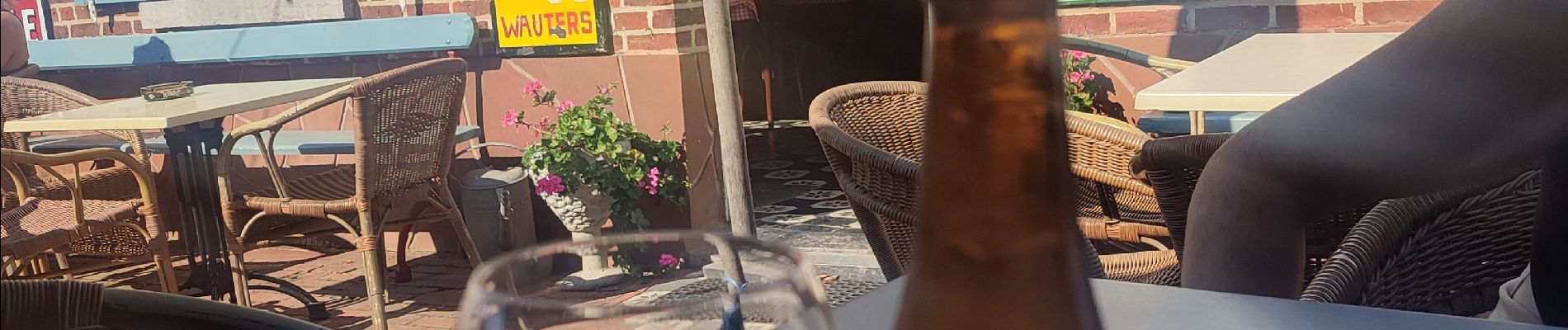
Photos


Localisation
Pays :
Belgique
Région :
Flandre
Département/Province :
Limbourg
Commune :
Halen
Localité :
Loksbergen
Départ:(Dec)
Départ:(UTM)
645474 ; 5644578 (31U) N.
Commentaires