


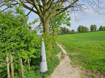
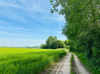
11,7 km | 14,9 km-effort
Limbourg : découvrez les meilleures randonnées : 1 581 pédestres, 196 à vélo ou VTT et 24 parcours équestres. Tous ces circuits, parcours, itinéraires et activités en plein air sont disponibles dans nos applications SityTrail pour smartphones et tablettes.
Marche


• Combiner rando & passage des coureurs cyclistes. 🚲 Amstel Gold Race 2024 🚲 Côte 9 - 101 km - Schweiberg Côte 14 - 1...
Marche
• Au cours de ce tour vallonné et surprenant de Kanne, vous verrez à quel point les environs de ce village sont beaux. ...
Marche
• D/A : Glacier 't Bakhuis. Une randonnée campagnarde, vallonnée et transfrontalière.
Marche
• 🅿️ Départ et Parking: Abdij Mariënlof Colenstraat 3840 Borgloon ▶️ Suivre la balise "flèche rouge" Au départ de ...
Marche
• Cet itinéraire traverse la région belge des Voer. Vous avez le choix entre de nombreuses ascensions, mais le résultat...
Marche
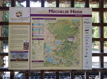
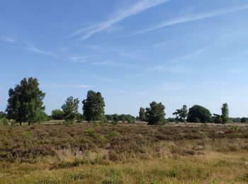
• L'itinéraire traverse le Parc National de la Haute Campine (Hoge Kempen). Nous marchons dans le Mechelse Heide et dan...
Marche
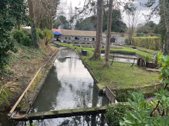
• Une belle balade forestière de la Commanderie 7 à travers la vallée de la Veurs et le Vrouwenbos.
Marche
• ℹ Gpx pris sur www.wandelgidszuidlimburg.com n° 930. ➡️ Vous parcourez d'abord une belle partie de la forêt le long d...
Marche
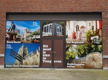
• Au cours de cette amusante combinaison de nature et de promenade en ville à Tongres, vous marcherez du paisible villa...
Marche
• ℹ www.wandelknooppunt.be ➡️ 26 17 11 10 12 13 14 15 19 20 21 22 34 33 32 31 28 24 25 26 (Tracé de JP)
Vélo
• balade vélo très cool
Marche
Marche
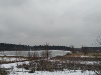
• Sneeuwwandeling in Bos -en Heidegebied. Langs meerdere vennen en de abdij van Averbode. Vertrek en aankomst : parkin...
Marche
Marche
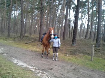
Randonnée équestre
• dans les bois de lanaken
A pied
Marche

Marche
• Un p'tit tour digestif après le resto ! Points-noeuds n°23 22 34 33 32 31 28 24 23
Vélo
20 randonnées affichées sur 1933
Application GPS de randonnée GRATUITE
 SityTrail
IGN / Instituts géographiques
SityTrail World
Le monde est à vous