


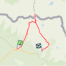

13,3 km | 20 km-effort


Utilisateur


Application GPS de randonnée GRATUITE
 SityTrail
IGN / Instituts géographiques
SityTrail World
Le monde est à vous
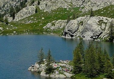
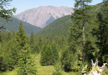
Randonnée Marche de 13,3 km à découvrir à Provence-Alpes-Côte d'Azur, Alpes-Maritimes, Saint-Martin-Vésubie. Cette randonnée est proposée par fredopaca.
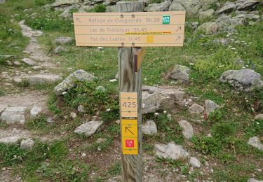
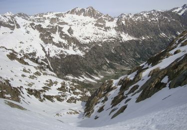
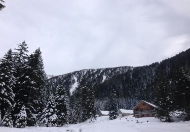
boucle départ gîte du boréon vers vallon sages des erps combe Guilié retour vers vallon sangué et retour vers la vacherie du boréon

Marche
Marche

Marche
A pied
A pied
A pied
A pied

Marche
Marche