Randonnée Marche Fontrieu - roc de peyremourou - Photo

roc de peyremourou

 cedric.fargues
cedric.fargues

Utilisateur

© OpenStreetMap contributors
Longueur
Longueur
4,2 km
Altitude max
Altitude max
637 m
Dénivelé positif
Dénivelé positif
130 m
Km-Effort
Km-Effort  
6 km
Altitude min
Altitude min
504 m
Dénivelé négatif
Dénivelé négatif
133 m
Boucle
Boucle
Oui
Date de création :
2015-06-20 00:00:00.0
Dernière modification :
2015-06-20 00:00:00.0

(0 Avis)

Marche
Marche
1h29
Difficulté : Très facile

Scannez ce code QR pour ouvrir la randonnée dans l'application SityTrail

Application GPS de randonnée GRATUITE

Logo SityTrail SityTrail

IGN / Instituts géographiques

Télécharger SityTrail sur l'App Store Télécharger SityTrail sur Google Play

Logo SityTrail SityTrail World

Le monde est à vous

Télécharger SityTrail sur l'App Store Télécharger SityTrail sur Google Play Télécharger SityTrail sur Huawei AppGallery

À propos

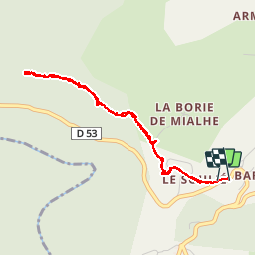
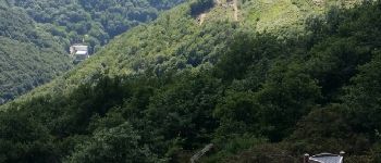
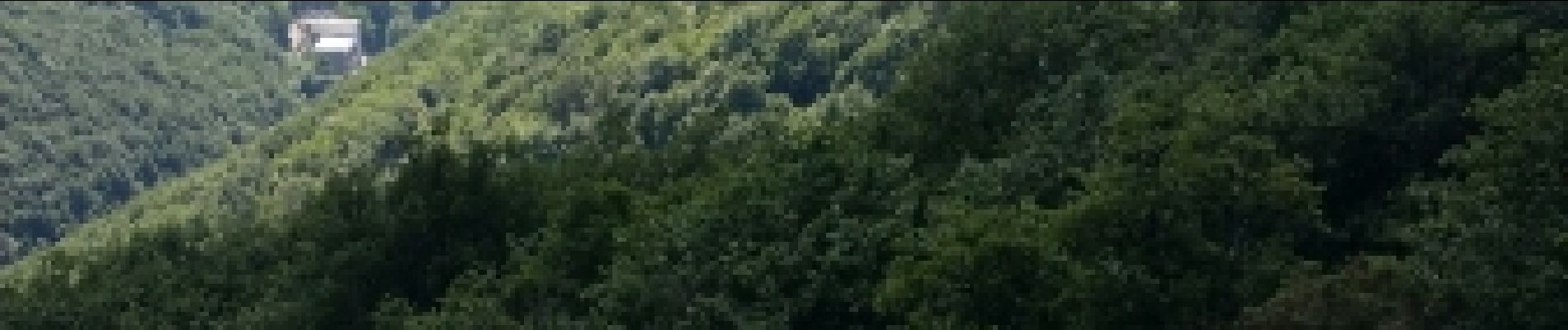
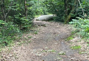
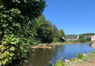
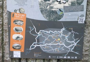
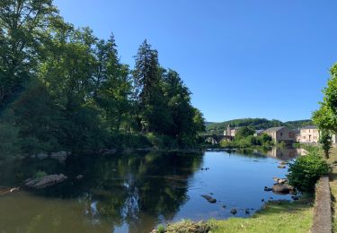
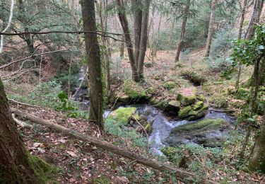
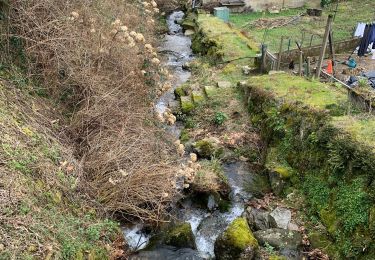
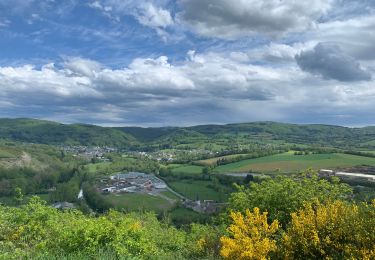
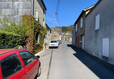
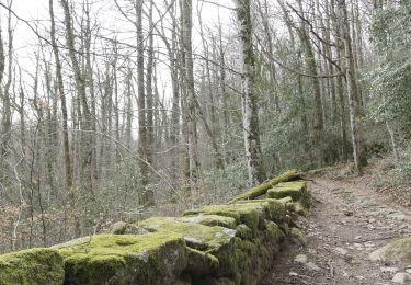
Randonnée Marche de 4,2 km à découvrir à Occitanie, Tarn, Fontrieu. Cette randonnée est proposée par cedric.fargues.

Profil altimétrique

Photos

Points d'intérêt

Point d'intérêt Fontrieu - roche de peyremourou - Photo
cedric.fargues

Localisation

Pays :
France
Région :
Occitanie
Département/Province :
Tarn
Commune :
Fontrieu
Localité :
Ferrières
Départ:(Dec)
Départ:(UTM)
455444 ; 4834462 (31T) N.

Randonnées à proximité

Randonnée Marche Lacrouzette - Sidobre - Photo
Marche
pantin

Marche

Moyen
Lacrouzette, Occitanie, Tarn, France
14,7 km | 19,1 km-effort
4h 21min
Oui
Randonnée Marche Brassac - Henry IV - Photo
Marche
cedric.fargues

Marche

Moyen
Brassac, Occitanie, Tarn, France
9,2 km | 12,8 km-effort
2h 56min
Oui
Randonnée Marche Lacrouzette - lac du Merle - Photo
Marche
gdela

Marche

Moyen
Lacrouzette, Occitanie, Tarn, France
5,2 km | 6,6 km-effort
1h 25min
Oui
Randonnée Marche Brassac - Grand tour du Salas  - Photo
Marche
cedric.fargues

Marche

Moyen
Brassac, Occitanie, Tarn, France
12,4 km | 17,6 km-effort
4h 6min
Oui
Randonnée Marche Brassac - Ruisseau du Ser  - Photo
Marche
cedric.fargues

Marche

Moyen
Brassac, Occitanie, Tarn, France
4,8 km | 8,5 km-effort
1h 58min
Oui
Randonnée Marche Brassac - L’escalier de la Peyre par les Costes - Photo
Marche
cedric.fargues

Marche

Difficile
Brassac, Occitanie, Tarn, France
10,3 km | 14,8 km-effort
2h 47min
Oui
Randonnée Marche Brassac - Croix de Barbariol - Photo
Marche
cedric.fargues

Marche

Moyen
Brassac, Occitanie, Tarn, France
9,5 km | 12,6 km-effort
3h 0min
Non
Randonnée Marche Brassac - Les costes par le Salas - Photo
Marche
cedric.fargues

Marche

Moyen
Brassac, Occitanie, Tarn, France
5,9 km | 7,9 km-effort
1h 30min
Oui
Randonnée Marche Burlats - lac du merle la cugnassarie  - Photo
Marche
jp.puech

Marche

Très facile
Burlats, Occitanie, Tarn, France
10,1 km | 13,2 km-effort
2h 14min
Oui


Fermer
Mes abonnements