


Manthelan - le Louroux - via PRs - 20.7km 100m 4h45 (1h) - 2025 04 30

Orcal37
Utilisateur GUIDE
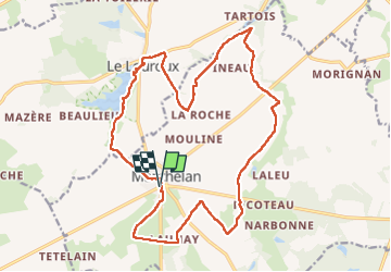

Longueur
21 km

Altitude max
114 m

Dénivelé positif
103 m
Km-Effort
22 km

Altitude min
90 m

Dénivelé négatif
101 m
Boucle
Oui
Date de création :
2025-04-30 08:58:21.674
Dernière modification :
2025-05-01 09:44:53.67
4h45
Difficulté : Facile

Application GPS de randonnée GRATUITE
 SityTrail
IGN / Instituts géographiques
SityTrail Plus
Le monde est à vous
À propos
Randonnée Marche de 21 km à découvrir à Centre-Val de Loire, Indre-et-Loire, Manthelan. Cette randonnée est proposée par Orcal37.
Description
Manthelan - le Louroux - via PRs - 20.7km 100m 4h45 (1h) - 2025 04 30
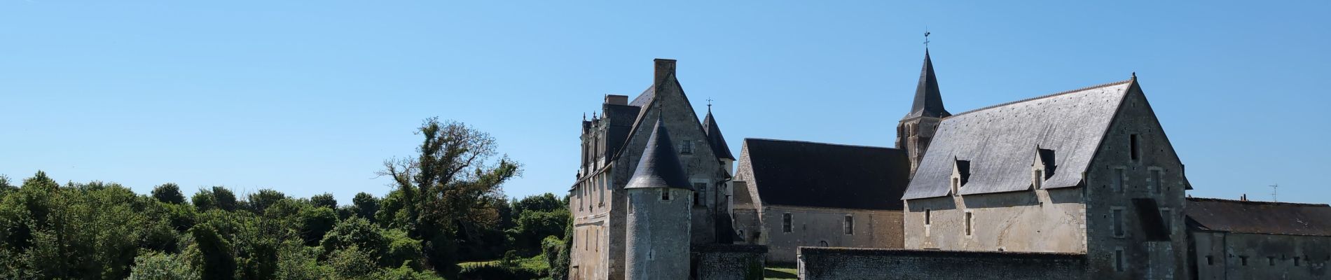
Photos
 - 2025 04 30 - Photo 1")
 - 2025 04 30 - Photo 2")
 - 2025 04 30 - Photo 3")
 - 2025 04 30 - Photo 4")
 - 2025 04 30 - Photo 5")
 - 2025 04 30 - Photo 6")
 - 2025 04 30 - Photo 7")
 - 2025 04 30 - Photo 8")
 - 2025 04 30 - Photo 9")
 - 2025 04 30 - Photo 10")
 - 2025 04 30 - Photo 11")
 - 2025 04 30 - Photo 12")
 - 2025 04 30 - Photo 13")
 - 2025 04 30 - Photo 14")
 - 2025 04 30 - Photo 15")
 - 2025 04 30 - Photo 16")
 - 2025 04 30 - Photo 17")
 - 2025 04 30 - Photo 18")
 - 2025 04 30 - Photo 19")
 - 2025 04 30 - Photo 20")
Localisation
Pays :
France
Région :
Centre-Val de Loire
Département/Province :
Indre-et-Loire
Commune :
Manthelan
Localité :
Unknown
Départ:(Dec)
Départ:(UTM)
332553 ; 5222440 (31T) N.
Commentaires