


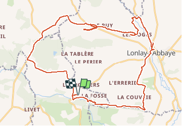

8,7 km | 10,9 km-effort

Utilisateur


Application GPS de randonnée GRATUITE
 SityTrail
IGN / Instituts géographiques
SityTrail World
Le monde est à vous
Randonnée V.T.T. de 27 km à découvrir à Normandie, Manche, Saint-Georges-de-Rouelley. Cette randonnée est proposée par fredtruc27.
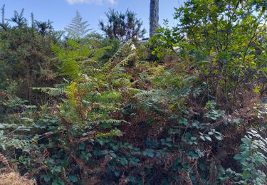
circuit agréable avec quelques passages difficiles


Marche
Marche

Marche

Marche
Marche
Marche

Cyclotourisme
Marche
Marche