


Courçay - PRs Reignac-sur-Indre GR46 - 18.3km 185m 5h25 (1h05) - 2025 07 04

Orcal37
Utilisateur GUIDE
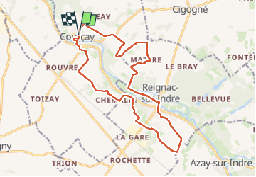

Longueur
18,3 km

Altitude max
96 m

Dénivelé positif
184 m
Km-Effort
21 km

Altitude min
58 m

Dénivelé négatif
186 m
Boucle
Oui
Date de création :
2025-07-04 08:34:18.725
Dernière modification :
2025-07-06 10:04:18.508
5h25
Difficulté : Moyen

Application GPS de randonnée GRATUITE
 SityTrail
IGN / Instituts géographiques
SityTrail Plus
Le monde est à vous
À propos
Randonnée Marche de 18,3 km à découvrir à Centre-Val de Loire, Indre-et-Loire, Courçay. Cette randonnée est proposée par Orcal37.
Description
Courçay - via PRs - Reignac-sur-Indre - via GR46 - 18.3km 185m 5h25 (1h05) - 2025 07 04
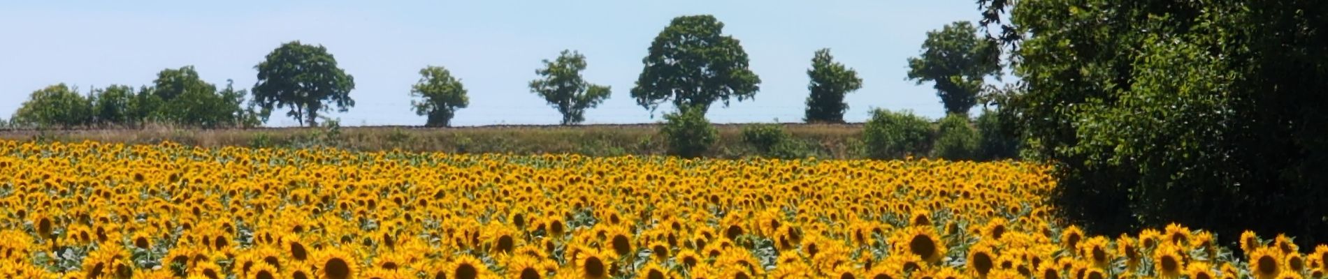
Photos
 - 2025 07 04 - Photo 1")
 - 2025 07 04 - Photo 2")
 - 2025 07 04 - Photo 3")
 - 2025 07 04 - Photo 4")
 - 2025 07 04 - Photo 5")
 - 2025 07 04 - Photo 6")
 - 2025 07 04 - Photo 7")
 - 2025 07 04 - Photo 8")
 - 2025 07 04 - Photo 9")
 - 2025 07 04 - Photo 10")
 - 2025 07 04 - Photo 11")
 - 2025 07 04 - Photo 12")
 - 2025 07 04 - Photo 13")
 - 2025 07 04 - Photo 14")
Localisation
Pays :
France
Région :
Centre-Val de Loire
Département/Province :
Indre-et-Loire
Commune :
Courçay
Localité :
Unknown
Départ:(Dec)
Départ:(UTM)
339379 ; 5235290 (31T) N.
Commentaires