


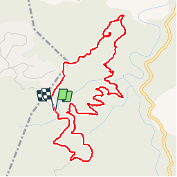

9,4 km | 12,8 km-effort

Utilisateur


Application GPS de randonnée GRATUITE
 SityTrail
IGN / Instituts géographiques
SityTrail World
Le monde est à vous
Randonnée Marche de 6,5 km à découvrir à Occitanie, Pyrénées-Orientales, Maureillas-las-Illas. Cette randonnée est proposée par jeff66.
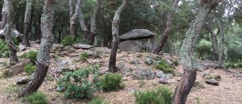
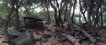
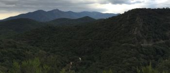
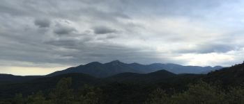
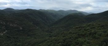
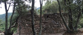
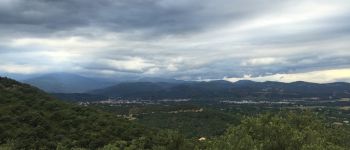
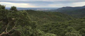
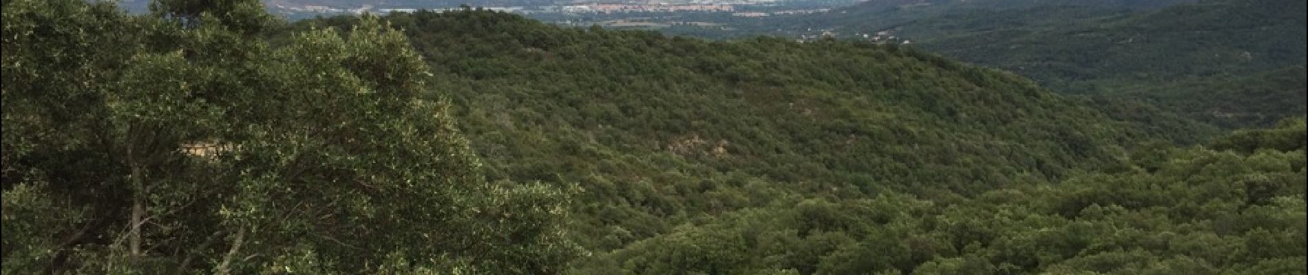
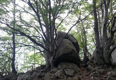
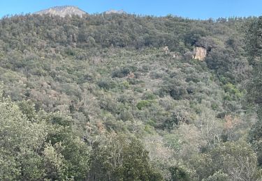
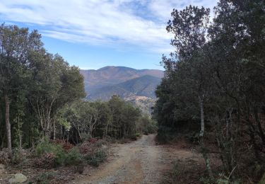
CERET 66 - les hauts de CERET - prendre route goudronnée qui serpente et monte entre les chênes verts - dolmen de la Siureda - puis suivre piste qui descend en très forte pente entre les chênes puis les châtaigniers - passer le Correc del Bruguer et à proximité du Pla del Bruguer - vue sur Maureillas Le Boulou - continuer sur la piste qui descend en lacets - ancienne mine de talc - mas Borrec ruines - prendre à gauche chemin escarpé puis à droite pour rejoindre sentier balisé a flan de montagne et en sous bois avec alternance de petites montées et descente - détour par point de vue à 360 degrés et la tour Bel Ull - vue superbe sur Vallespir Alberes Maureillas Plaine Corbières St-Jean CERET - la Calmilla - citerne DFCI


Marche
Marche

Marche

Marche
Marche
Marche
Marche
Marche
Marche
bonne randonnée. Difficile pour famille avec parents non initiés et adolescents en pleine forme...