


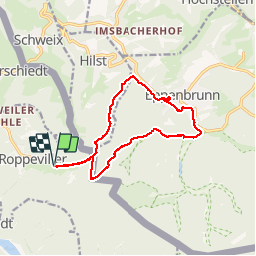


7,1 km | 9,7 km-effort

Utilisateur


Application GPS de randonnée GRATUITE
 SityTrail
IGN / Instituts géographiques
SityTrail World
Le monde est à vous
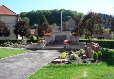
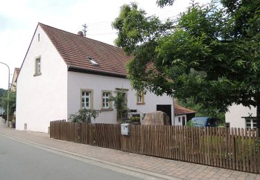
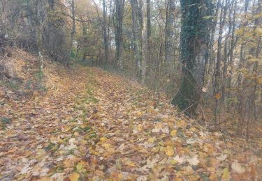
Randonnée Marche de 13 km à découvrir à Grand Est, Moselle, Roppeviller. Cette randonnée est proposée par VacheKiri67.
Faite le 30/12/2015 avec notre fils de 11 ans et nos amis Eléonore et Bernard.


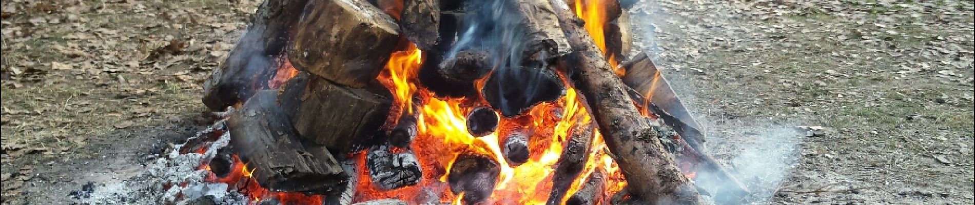
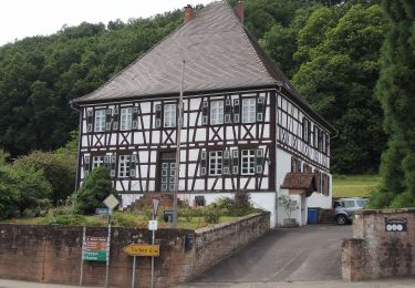
22 photos au total. Cliquez sur une photo pour les afficher toutes dans la galerie.
A pied
A pied
A pied
A pied
A pied
A pied
A pied
A pied
Marche
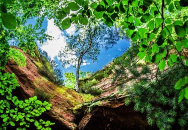
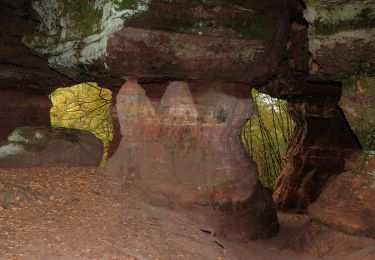
Surnommé le Colorado du Bitcherland ! Un site vraiment exceptionnel ! Le rocher est immense, il fait 1500 mètres. A apprécier l'hiver lorsque le soleil donne une magnifique couleur au site.