


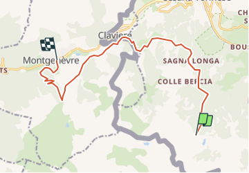

15,4 km | 32 km-effort


Utilisateur


Application GPS de randonnée GRATUITE
 SityTrail
IGN / Instituts géographiques
SityTrail World
Le monde est à vous
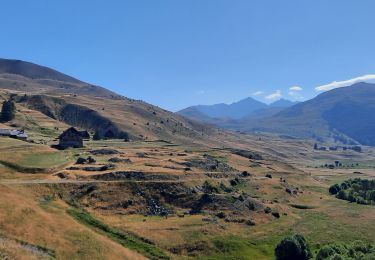
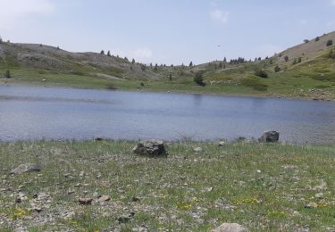
Randonnée Sports d'hiver de 14,6 km à découvrir à Piémont, Turin, Césane. Cette randonnée est proposée par PaulNord.

Marche

Marche

Marche

Marche
Marche
Marche
Marche
Marche
Marche