


28 km | 37 km-effort

Utilisateur


Application GPS de randonnée GRATUITE
 SityTrail
IGN / Instituts géographiques
SityTrail World
Le monde est à vous
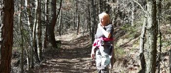
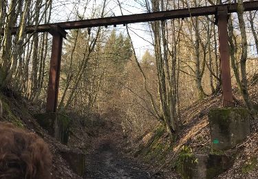
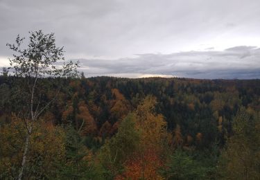
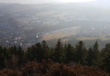
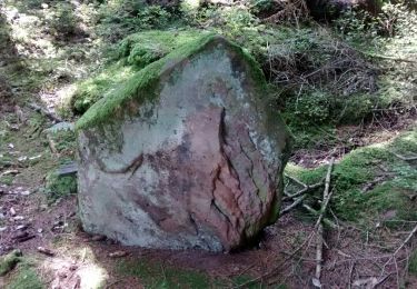
Randonnée Marche de 5,1 km à découvrir à Grand Est, Vosges, Moyenmoutier. Cette randonnée est proposée par phil88.
petite balade digestive


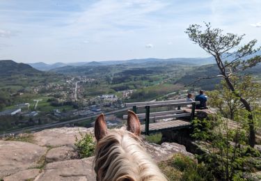
Randonnée équestre
Marche
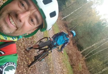
V.T.T.
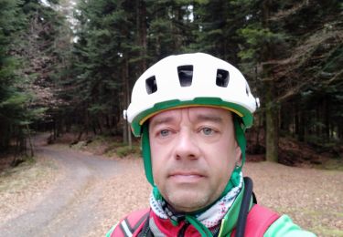
V.T.T.

V.T.T.
A pied
V.T.T.
Marche
Marche