


28 km | 37 km-effort


User


FREE GPS app for hiking
 SityTrail
IGN / Geographical institutes
SityTrail World
The world is yours!
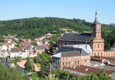
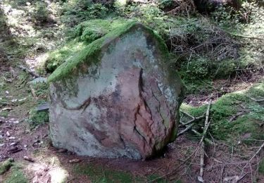
Trail Walking of 5.1 km to be discovered at Grand Est, Vosges, Moyenmoutier. This trail is proposed by phil88.
petite balade digestive


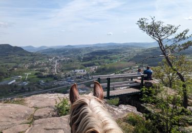
Horseback riding

Walking

Mountain bike

Mountain bike

Mountain bike
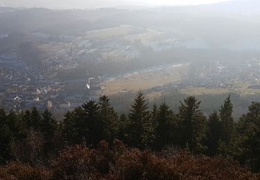
On foot
Mountain bike
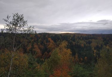
Walking
Walking