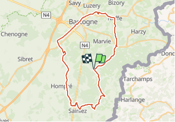
![](/images/other/stat-length.png)
RB-Lu-27_Lutrebois
GR Rando
Randonnez sur et autour des GR ® wallons (Sentiers de Grande Randonnée). PRO
![Longueur](/images/other/stat-length.png)
![Altitude max](https://static1.geolcdn.com/siteimages/upload/files/1508320355ic_sort_altitude_max_24dp.png)
![Dénivelé positif](https://static1.geolcdn.com/siteimages/upload/files/1508320355ic_sort_den_pos_24dp.png)
![Km-Effort](/images/other/stat-length.png)
![Altitude min](https://static1.geolcdn.com/siteimages/upload/files/1508320355ic_sort_altitude_min_24dp.png)
![Dénivelé négatif](https://static1.geolcdn.com/siteimages/upload/files/1508320355ic_sort_den_neg_24dp.png)
![Boucle](https://static1.geolcdn.com/siteimages/upload/files/16400158638029165_repeat_loop_refresh_sync_direction_icon.png)
![Marche](https://static1.geolcdn.com/sitytour/trail-icons/101.png)
8h27
Difficulté : Inconnu
![Scannez ce code QR pour ouvrir la randonnée dans l'application SityTrail](https://capi.geolives.com/qq0zvz2zws4bq2lad0pu/sitytour/trails/541378/qr.png?size=200)
Application GPS de randonnée GRATUITE
À propos
Randonnée Marche de 31 km à découvrir à Wallonie, Luxembourg, Bastogne. Cette randonnée est proposée par GR Rando.
Description
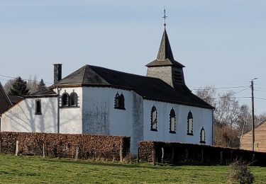
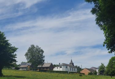
Point de départ : l’église de Lutrebois.
Accès :
[voiture] Coordonnées GPS : 49° 57' 31.5" N ; 5° 43' 57.7" E.
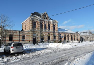
Transports en commun [TEC] arrêt Lutrebois-Église. Nombreux arrêts à Bastogne
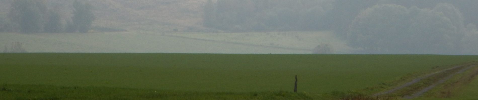
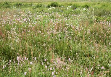
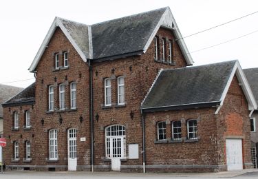
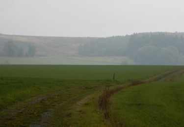
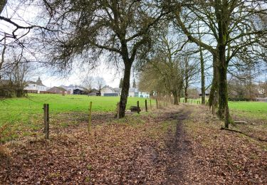
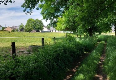
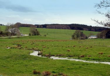
Cette RB campagnarde et forestière dessine d’agréables points de vue sur un plateau aux multiples ondulations, notamment par des lieux où se déroulèrent des évènements dramatiques durant l’hiver 1944-1945. De plus, elle vous permet de découvrir des lieux chargés d’histoire. Au départ de Lutrebois, deux boucles formant un 8 peuvent être parcourues en un ou deux jours. Boucle 1 ; Boucle 2
La région de Bastogne bénéficie d’une situation naturelle importante à l’est de l’Ardenne belge et sur la ligne de crête qui sépare les bassins versants du Rhin et de la Meuse. Elle chevauche trois bassins hydrographiques : le bassin des Deux Ourthes au nord, ceux de la Wiltz à l’est et de la Sûre au sud. Cette ligne constitue une des voies utilisées dès la préhistoire par les nomades (qui étaient de grands randonneurs !) et reprise ensuite par les Romains. Le plateau de Bastogne, au climat le plus froid et le plus humide de Belgique, est balayé par les rudes vents d’Ardenne.
Localisation
Commentaires
Randonnées à proximité
![Randonnée Marche Vaux-sur-Sûre - Hompré. Natura 2000, des sites qui valent le détour. Lx8 - Photo](https://media.geolcdn.com/t/375/260/ext.jpg?maxdim=2&url=https%3A%2F%2Fservices.sitytrail.com%2FGeolivesWS%2FDownloadMedia.ashx%3FTrailID%3D163750%26Media%3D9b92826d-7fd7-4872-9569-36ed8015d89e.jpg)
![Marche Marche](https://static1.geolcdn.com/sitytour/trail-icons/101.png)
Marche
![](/images/other/stat-length.png)
![](https://static1.geolcdn.com/siteimages/upload/files/16400158638029165_repeat_loop_refresh_sync_direction_icon.png)
![Randonnée A pied Bastogne - Promenade de Sans-souci - Photo](https://media.geolcdn.com/t/375/260/ext.jpg?maxdim=2&url=https%3A%2F%2Fmedia.geolcdn.com%2Ff%2F7d0be711-2b6c-4626-95af-6f44538f00ad.jpeg)
![A pied A pied](https://static1.geolcdn.com/sitytour/trail-icons/100.png)
A pied
![](/images/other/stat-length.png)
![](https://static1.geolcdn.com/siteimages/upload/files/16400158638029165_repeat_loop_refresh_sync_direction_icon.png)
![Randonnée Marche Bastogne - RB-Lu-27_Lutrebois_Boucle-2 - Photo](https://media.geolcdn.com/t/375/260/ext.jpg?maxdim=2&url=https%3A%2F%2Fmedia.geolcdn.com%2Ff%2F86147b86-ce11-4562-b536-23c295495a99.JPG)
![Marche Marche](https://static1.geolcdn.com/sitytour/trail-icons/101.png)
Marche
![](/images/other/stat-length.png)
![](https://static1.geolcdn.com/siteimages/upload/files/16400158638029165_repeat_loop_refresh_sync_direction_icon.png)
![Randonnée Marche Bastogne - RB-Lu-27_Lutrebois_Boucle-1 - Photo](https://media.geolcdn.com/t/375/260/ext.jpg?maxdim=2&url=https%3A%2F%2Fmedia.geolcdn.com%2Ff%2Fe4295498-b45c-49ad-93e5-e32743ebc892.JPG)
![Marche Marche](https://static1.geolcdn.com/sitytour/trail-icons/101.png)
Marche
![](/images/other/stat-length.png)
![](https://static1.geolcdn.com/siteimages/upload/files/16400158638029165_repeat_loop_refresh_sync_direction_icon.png)
![Randonnée Marche Bastogne - Lutrebois 150224 - Photo](https://media.geolcdn.com/t/375/260/ext.jpg?maxdim=2&url=https%3A%2F%2Fmedia.geolcdn.com%2Ff%2F1de31260-7ac1-4126-a163-99f3f1754299.jpg)
![Marche Marche](https://static1.geolcdn.com/sitytour/trail-icons/101.png)
Marche
![](/images/other/stat-length.png)
![](https://static1.geolcdn.com/siteimages/upload/files/16400158638029165_repeat_loop_refresh_sync_direction_icon.png)
![Randonnée Marche Bastogne - rando lutrebois - Photo](https://media.geolcdn.com/t/375/260/ext.jpg?maxdim=2&url=https%3A%2F%2Fmedia.geolcdn.com%2Ff%2Ffc91ba70-7ad4-452d-b496-ce0097417b66.jpg)
![Marche Marche](https://static1.geolcdn.com/sitytour/trail-icons/101.png)
Marche
![](/images/other/stat-length.png)
![](https://static1.geolcdn.com/siteimages/upload/files/16400158638029165_repeat_loop_refresh_sync_direction_icon.png)
![Randonnée Marche Bastogne - rando lutrebois 2-06-2022 - Photo](https://media.geolcdn.com/t/375/260/ext.jpg?maxdim=2&url=https%3A%2F%2Fmedia.geolcdn.com%2Ff%2F4f85ad78-968c-44ac-86f1-24f8d1cba25f.jpg)
![Marche Marche](https://static1.geolcdn.com/sitytour/trail-icons/101.png)
Marche
![](/images/other/stat-length.png)
![](https://static1.geolcdn.com/siteimages/upload/files/16400158638029165_repeat_loop_refresh_sync_direction_icon.png)
![Randonnée Marche Bastogne - Lutrebois 030622 - Photo](https://media.geolcdn.com/t/375/260/ext.jpg?maxdim=2&url=https%3A%2F%2Fmedia.geolcdn.com%2Ff%2F6e5f87f7-47d0-44ac-8485-d5a692718eb1.jpg)
![Marche Marche](https://static1.geolcdn.com/sitytour/trail-icons/101.png)
Marche
![](/images/other/stat-length.png)
![](https://static1.geolcdn.com/siteimages/upload/files/16400158638029165_repeat_loop_refresh_sync_direction_icon.png)
![Randonnée A pied Vaux-sur-Sûre - Promenade des Écureuils - Photo](https://media.geolcdn.com/t/375/260/ext.jpg?maxdim=2&url=https%3A%2F%2Fmedia.geolcdn.com%2Ff%2F26417e3c-c0b4-4d38-b0ea-08ee0018cb6a.jpeg)
![A pied A pied](https://static1.geolcdn.com/sitytour/trail-icons/100.png)
A pied
![](/images/other/stat-length.png)
![](https://static1.geolcdn.com/siteimages/upload/files/16400158638029165_repeat_loop_refresh_sync_direction_icon.png)