


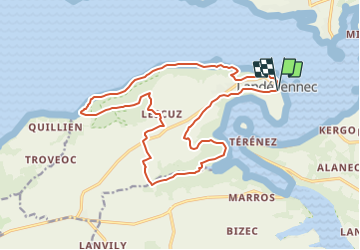


19,4 km | 25 km-effort

Utilisateur


Application GPS de randonnée GRATUITE
 SityTrail
IGN / Instituts géographiques
SityTrail World
Le monde est à vous
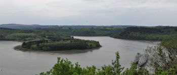
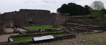
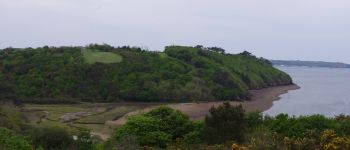
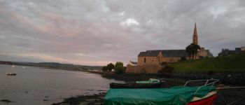
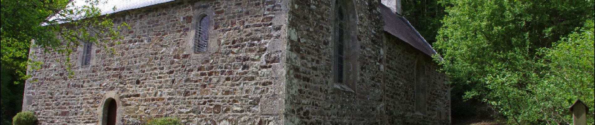
Randonnée Marche de 18,3 km à découvrir à Bretagne, Finistère, Landévennec. Cette randonnée est proposée par neoroll44.
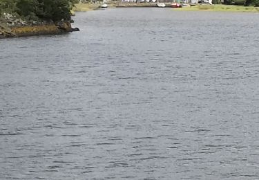
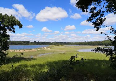
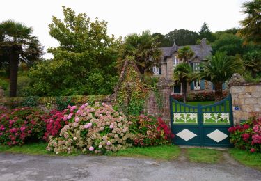
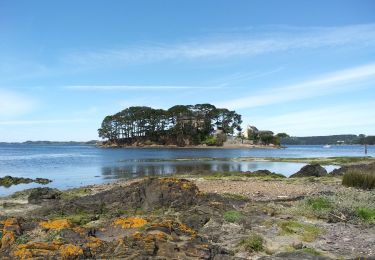
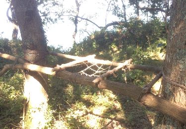
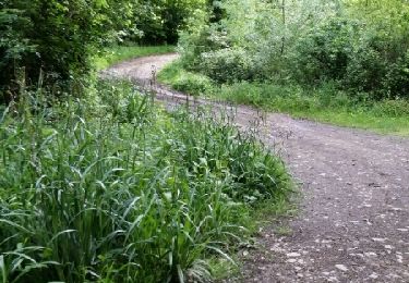
Depuis les ruines de l'ancienne abbaye, le sillon des anglais, le bois du Loc'h, le moulin neuf, et la chapelle du Folgoat. Balisage jaune et GR 34.


Marche
A pied
Marche
Marche
Marche

Marche
Marche
Course à pied