


8,2 km | 9,5 km-effort


Utilisateur


Application GPS de randonnée GRATUITE
 SityTrail
IGN / Instituts géographiques
SityTrail World
Le monde est à vous
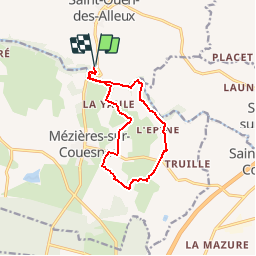
Randonnée Marche de 10,7 km à découvrir à Bretagne, Ille-et-Vilaine, Saint-Ouen-des-Alleux. Cette randonnée est proposée par neoroll44.
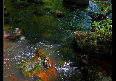
Depuis le parking du Conseil général à St-Ouen des Alleux (fléché depuis la RD 102), la vallée du Couesnon et la campagne de Mézieres.
A pied
A pied

Marche
Cheval
Marche

Marche
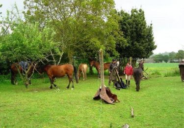
Cheval
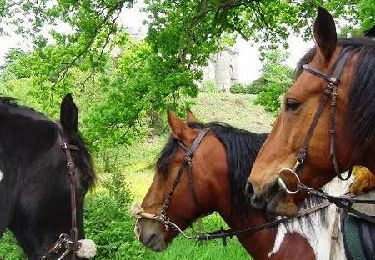
Cheval
Marche