Randonnée Marche Condac - Condac - Photo
 neoroll44
neoroll44

Utilisateur

© OpenStreetMap contributors
Longueur
Longueur
11,2 km
Altitude max
Altitude max
144 m
Dénivelé positif
Dénivelé positif
141 m
Km-Effort
Km-Effort  
13,1 km
Altitude min
Altitude min
77 m
Dénivelé négatif
Dénivelé négatif
143 m
Boucle
Boucle
Oui
Date de création :
2016-04-20 00:00:00.0
Dernière modification :
2016-04-20 00:00:00.0

(0 Avis)

Marche
Marche
3h00
Difficulté : Moyen

Scannez ce code QR pour ouvrir la randonnée dans l'application SityTrail

Application GPS de randonnée GRATUITE

Logo SityTrail SityTrail

IGN / Instituts géographiques

Télécharger SityTrail sur l'App Store Télécharger SityTrail sur Google Play

Logo SityTrail SityTrail World

Le monde est à vous

Télécharger SityTrail sur l'App Store Télécharger SityTrail sur Google Play Télécharger SityTrail sur Huawei AppGallery

À propos

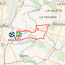
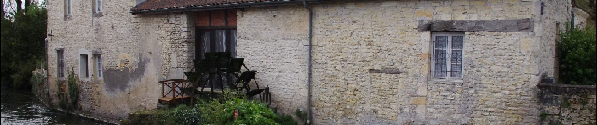
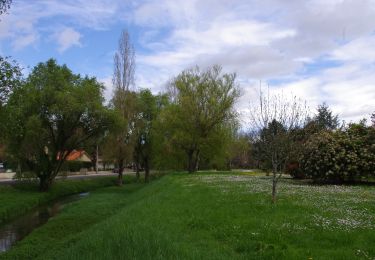
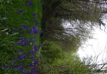
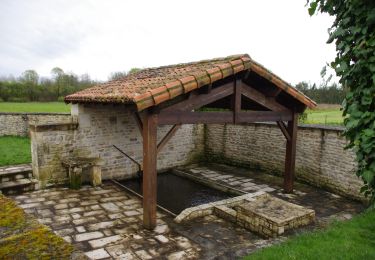
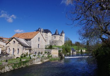
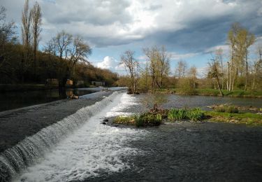
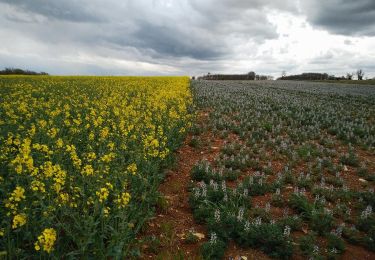
Randonnée Marche de 11,2 km à découvrir à Nouvelle-Aquitaine, Charente, Condac. Cette randonnée est proposée par neoroll44.

Description

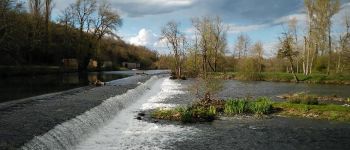
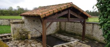
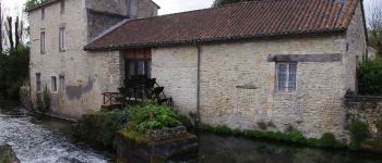
Circuit des Fonts Bleues (vert) depuis le pont de Condac ou Rejallant (camping, piuque-nique, canoë, restaurant).

Profil altimétrique

Photos

Points d'intérêt

Point d'intérêt Condac - Rejallant - Photo
neoroll44
CONDAC 
Point d'intérêt Condac - Lavoir - Photo
neoroll44
CONDAC 
Point d'intérêt Condac - Moulin Neuf - Photo
neoroll44
CONDAC 

Localisation

Pays :
France
Région :
Nouvelle-Aquitaine
Département/Province :
Charente
Commune :
Condac
Localité :
Unknown
Départ:(Dec)
Départ:(UTM)
284464 ; 5099480 (31T) N.

Randonnées à proximité

Randonnée Marche Saint-Georges - La rando de St GEORGES 16700 - Photo
Marche
alainjoseph6

Marche

Facile
Saint-Georges, Nouvelle-Aquitaine, Charente, France
7,9 km | 8,9 km-effort
2h 28min
Oui
Randonnée Marche Ruffec - Ruffec_Logis - Photo
Marche
neoroll44

Marche

Moyen
Ruffec, Nouvelle-Aquitaine, Charente, France
17,3 km | 19,7 km-effort
4h 20min
Oui
Randonnée Marche Ruffec - Ruffec_Forêt - Photo
Marche
neoroll44

Marche

Facile
Ruffec, Nouvelle-Aquitaine, Charente, France
8,5 km | 10 km-effort
2h 20min
Oui
Randonnée Marche Condac - Condac_Bioussac_Barro - Photo
Marche
neoroll44

Marche

Moyen
Condac, Nouvelle-Aquitaine, Charente, France
26 km | 31 km-effort
6h 40min
Oui
Randonnée Marche Verteuil-sur-Charente - Verteuil sur Charente - Photo
Marche
neoroll44

Marche

Facile
Verteuil-sur-Charente, Nouvelle-Aquitaine, Charente, France
6,6 km | 7,4 km-effort
1h 40min
Oui
Randonnée Marche Ruffec - Ruffec_Jardins - Photo
Marche
neoroll44

Marche

Facile
(2)
Ruffec, Nouvelle-Aquitaine, Charente, France
5,4 km | 6,2 km-effort
1h 30min
Oui
Randonnée Marche Taizé-Aizie - Taizé-Aizie - Photo
Marche
neoroll44

Marche

Moyen
Taizé-Aizie, Nouvelle-Aquitaine, Charente, France
14,7 km | 17 km-effort
4h 0min
Oui
Randonnée Marche Bioussac - Bioussac_Boulogne - Photo
Marche
neoroll44

Marche

Facile
Bioussac, Nouvelle-Aquitaine, Charente, France
5,2 km | 5,9 km-effort
1h 20min
Oui
Randonnée Marche Courcôme - Villegats - Photo
Marche
neoroll44

Marche

Moyen
Courcôme, Nouvelle-Aquitaine, Charente, France
11,4 km | 13,6 km-effort
3h 0min
Oui


Fermer
Mes abonnements