


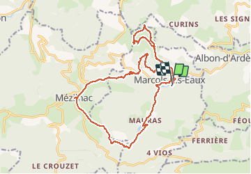

18,2 km | 29 km-effort


Utilisateur


Application GPS de randonnée GRATUITE
 SityTrail
IGN / Instituts géographiques
SityTrail World
Le monde est à vous
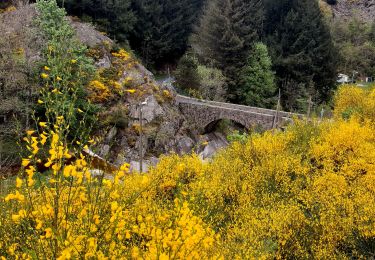
Randonnée Marche de 21 km à découvrir à Auvergne-Rhône-Alpes, Ardèche, Marcols-les-Eaux. Cette randonnée est proposée par manumax.
Randonnée de villageSt Marcol les eaux
Marche
Marche
Vélo
Marche

Marche

Marche
Marche
Marche
Marche