


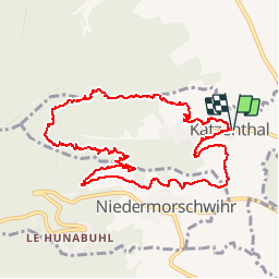


17,1 km | 25 km-effort

Utilisateur


Application GPS de randonnée GRATUITE
 SityTrail
IGN / Instituts géographiques
SityTrail World
Le monde est à vous
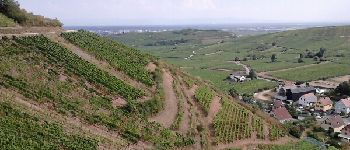
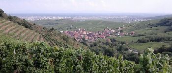
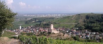
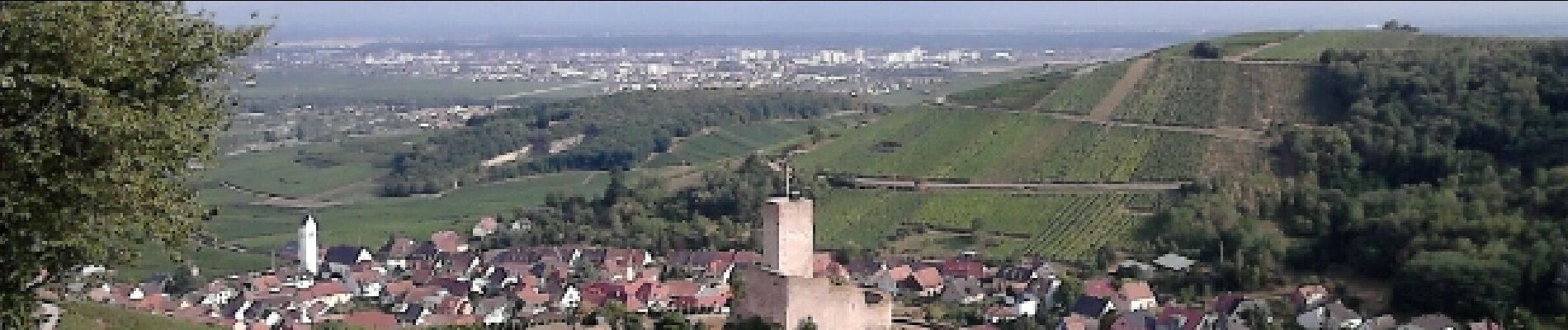
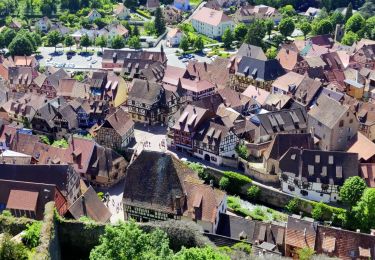
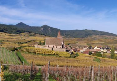
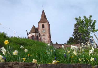
Randonnée Marche de 10,7 km à découvrir à Grand Est, Haut-Rhin, Katzenthal. Cette randonnée est proposée par zazie.
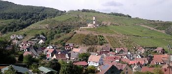
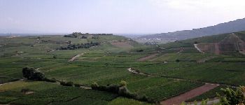
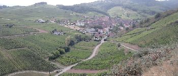
Promenade estivale entre vignes et forêts de Katzenthal.


Marche

Marche
Marche
Randonnée équestre
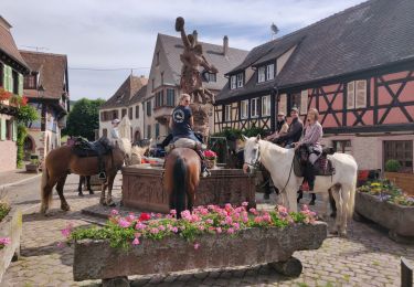
Randonnée équestre

Marche

V.T.T.

Marche
Marche