


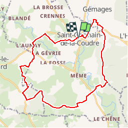


12 km | 14,1 km-effort


Utilisateur


Application GPS de randonnée GRATUITE
 SityTrail
IGN / Instituts géographiques
SityTrail World
Le monde est à vous
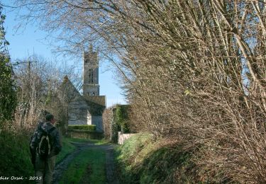
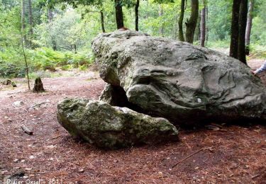
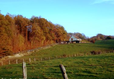
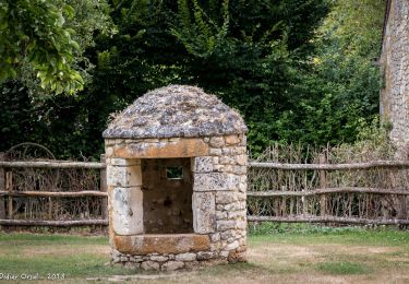
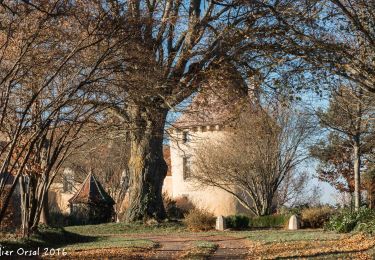
Randonnée Marche de 18 km à découvrir à Normandie, Orne, Saint-Germain-de-la-Coudre. Cette randonnée est proposée par togolo28.

Marche
Marche
Marche
Marche
Marche
Marche
Marche
Marche
Marche