


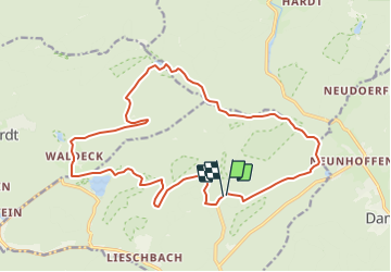

17,3 km | 24 km-effort


Utilisateur


Application GPS de randonnée GRATUITE
 SityTrail
IGN / Instituts géographiques
SityTrail World
Le monde est à vous
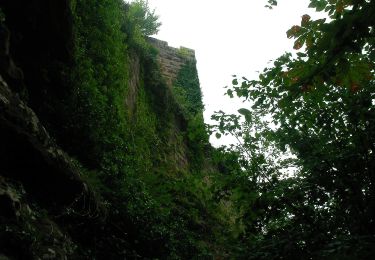
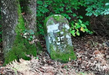
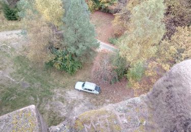
Randonnée Cheval de 18,5 km à découvrir à Grand Est, Moselle, Philippsbourg. Cette randonnée est proposée par baggera.
Marche

Marche
A pied

A pied
A pied
A pied
A pied
A pied
A pied