


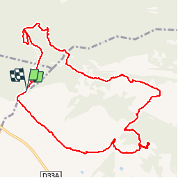


14,2 km | 17,2 km-effort

Utilisateur


Application GPS de randonnée GRATUITE
 SityTrail
IGN / Instituts géographiques
SityTrail World
Le monde est à vous
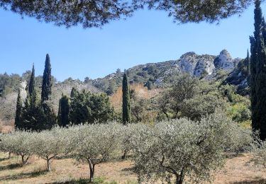
Randonnée Marche de 13,4 km à découvrir à Provence-Alpes-Côte d'Azur, Bouches-du-Rhône, Tarascon. Cette randonnée est proposée par kephas.
Départ parking sur la piste à l'entrée du vallon de la Lèque
D82C


Marche
Marche

Marche
Marche
Marche

Vélo électrique
Vélo électrique
Marche

A pied