


11,2 km | 14,6 km-effort


Utilisateur


Application GPS de randonnée GRATUITE
 SityTrail
IGN / Instituts géographiques
SityTrail World
Le monde est à vous
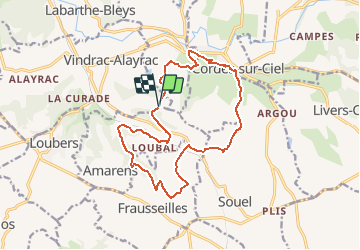
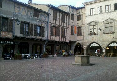
Randonnée Marche de 16,4 km à découvrir à Occitanie, Tarn, Amarens. Cette randonnée est proposée par jab31.
Meulières longue

Marche

Marche
Marche
Marche
Marche
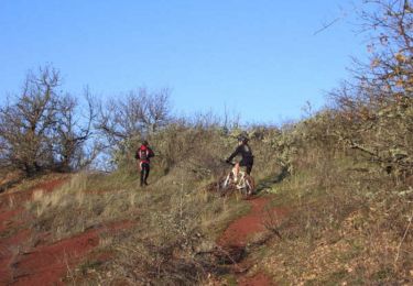
V.T.T.
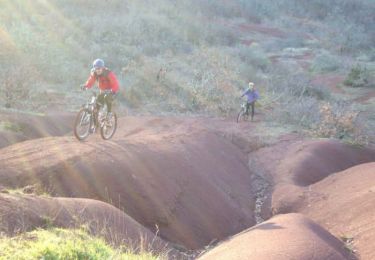
V.T.T.
Marche
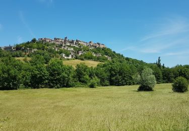
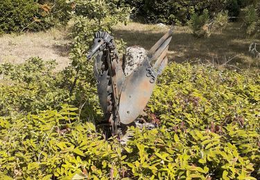
Beau paysage