


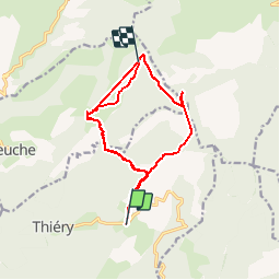

10,7 km | 22 km-effort


Utilisateur


Application GPS de randonnée GRATUITE
 SityTrail
IGN / Instituts géographiques
SityTrail World
Le monde est à vous
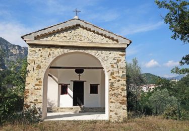
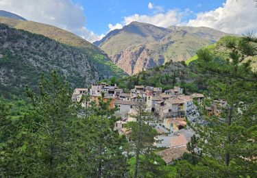
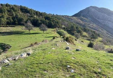
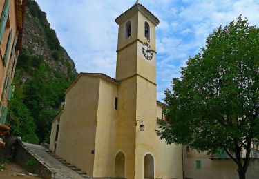
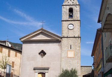
Randonnée Marche de 18,8 km à découvrir à Provence-Alpes-Côte d'Azur, Alpes-Maritimes, Thiéry. Cette randonnée est proposée par GrouGary.
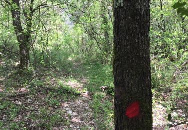
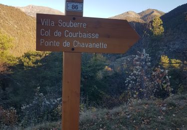
Bon balisage. Grosse chaleur Arsilane à la Madone (talweg étroit. Nombreuses pertes de navigation dans la forêt.
A pied
Marche
Marche
Marche
Marche
Marche
Marche
A pied
A pied