25 km | 29 km-effort
Bugelez
nolsim
Utilisateur
Longueur
18,3 km
Altitude max
45 m
Dénivelé positif
155 m
Km-Effort
20 km
Altitude min
-1 m
Dénivelé négatif
189 m
Boucle
Non
Date de création :
2018-08-18 14:07:21.661
Dernière modification :
2018-08-18 14:07:21.661
5h07
Difficulté : Facile
Application GPS de randonnée GRATUITE
À propos
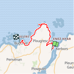
Randonnée Marche de 18,3 km à découvrir à Bretagne, Côtes-d'Armor, Plouguiel. Cette randonnée est proposée par nolsim.
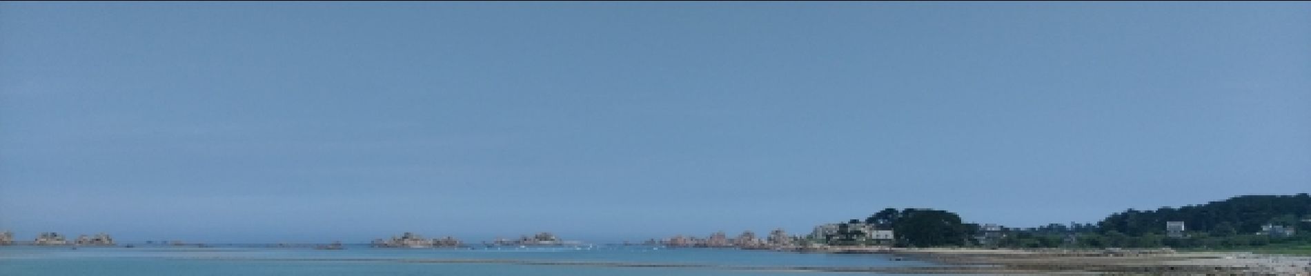
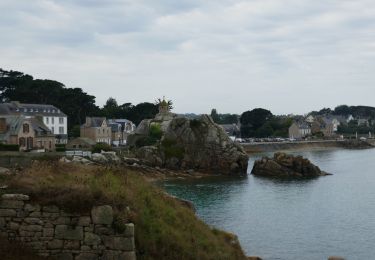
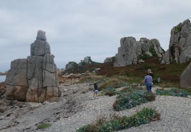
Description
Chemin côtier
Localisation
Pays :
France
Région :
Bretagne
Département/Province :
Côtes-d'Armor
Commune :
Plouguiel
Localité :
Unknown
Départ:(Dec)
Départ:(UTM)
484740 ; 5408156 (30U) N.
Commentaires
Randonnées à proximité
Port Blanc et Bugélès à partir de Treguier
Vélo électrique
Moyen
Plouguiel,
Bretagne,
Côtes-d'Armor,
France
3h 3min
Oui
Tour de la pointe de Plougrescrant à partir de Treguier
Vélo électrique
Facile
Tréguier,
Bretagne,
Côtes-d'Armor,
France
32 km | 37 km-effort
3h 38min
Non
Le grand tour de Plougrescant
Marche
Moyen
Plougrescant,
Bretagne,
Côtes-d'Armor,
France
16,1 km | 18,2 km-effort
4h 7min
Oui
Grand tour de Plougrescant
Marche
Moyen
Plougrescant,
Bretagne,
Côtes-d'Armor,
France
17,8 km | 20 km-effort
5h 10min
Oui
Randoguide
Marche
Facile
(1)
Plougrescant,
Bretagne,
Côtes-d'Armor,
France
7,7 km | 8,8 km-effort
5min
Oui
Plougrescant
Marche
Très facile
(1)
Plougrescant,
Bretagne,
Côtes-d'Armor,
France
13,1 km | 15,1 km-effort
Inconnu
Oui
Autour de Tréguier - Etape 4
Marche
Moyen
Plougrescant,
Bretagne,
Côtes-d'Armor,
France
17,3 km | 21 km-effort
4h 45min
Non
Autour de Tréguier - Etape 1
Marche
Moyen
Tréguier,
Bretagne,
Côtes-d'Armor,
France
16,8 km | 19,9 km-effort
4h 15min
Non
22]04]24GR34
Marche
Très difficile
Plouguiel,
Bretagne,
Côtes-d'Armor,
France
28 km | 33 km-effort
6h 0min
Non