


28 km | 36 km-effort


Utilisateur


Application GPS de randonnée GRATUITE
 SityTrail
IGN / Instituts géographiques
SityTrail World
Le monde est à vous
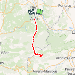
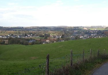
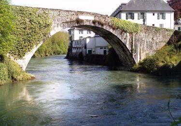
Randonnée Vélo de 52 km à découvrir à Nouvelle-Aquitaine, Pyrénées-Atlantiques, Asson. Cette randonnée est proposée par mehdih.
je
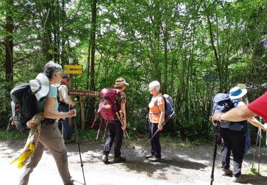
Marche
A pied
Marche
Marche
Marche
Marche
Marche
Marche
Marche