


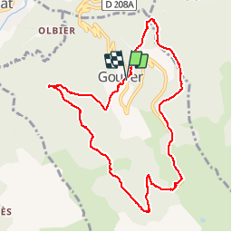


5,8 km | 10,3 km-effort

Utilisateur


Application GPS de randonnée GRATUITE
 SityTrail
IGN / Instituts géographiques
SityTrail World
Le monde est à vous
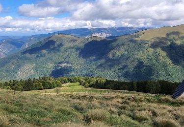
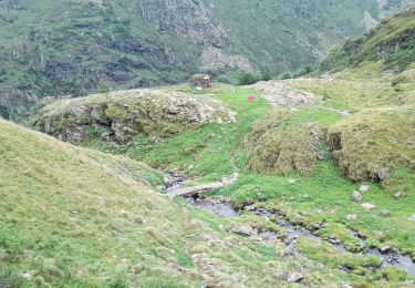
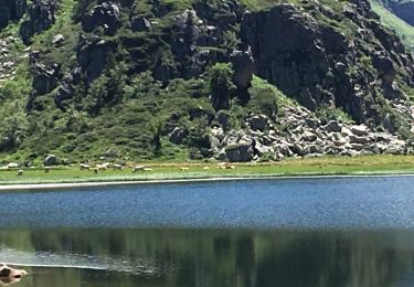
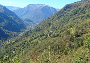
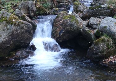
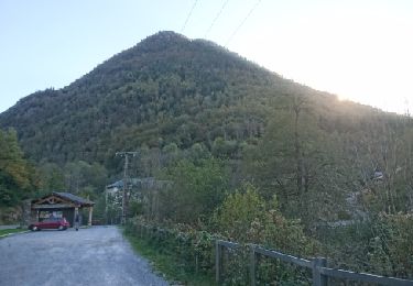
Randonnée Marche de 10,8 km à découvrir à Occitanie, Ariège, Val-de-Sos. Cette randonnée est proposée par randodan.
- 7 octobre - De Goulier à sa Station via Risoul (GR 10B) -<br>
En cours


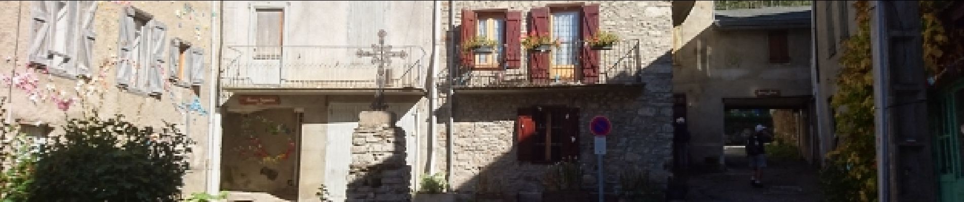
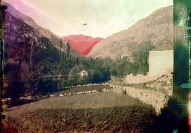
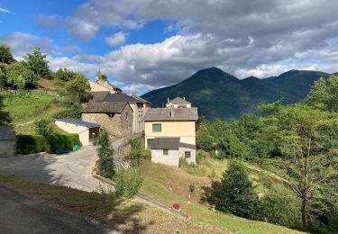
23 photos au total. Cliquez sur une photo pour les afficher toutes dans la galerie.
A pied
A pied
Marche
Marche

Marche
Marche
Marche
Marche
Marche
tres,tres intéressant !