


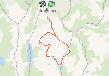

5,8 km | 10,3 km-effort


Utilisateur


Application GPS de randonnée GRATUITE
 SityTrail
IGN / Instituts géographiques
SityTrail World
Le monde est à vous
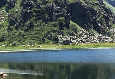
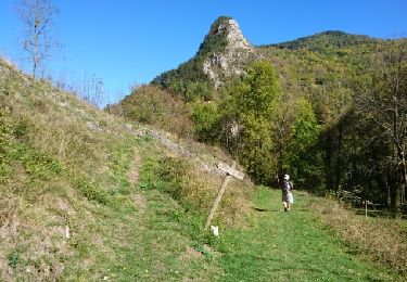
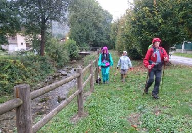
Randonnée Marche de 19,2 km à découvrir à Occitanie, Ariège, Siguer. Cette randonnée est proposée par rolandariege.
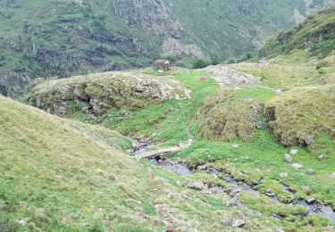
haute montagne non balisé en partie


A pied
Marche
Marche
Marche

Marche
Marche
Marche

Marche

Marche
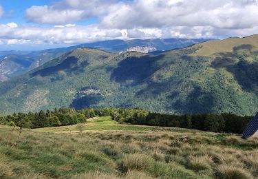
Très belle randonnée dans un secteur très peu fréquenté.