


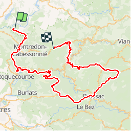

8,3 km | 11,1 km-effort


Utilisateur


Application GPS de randonnée GRATUITE
 SityTrail
IGN / Instituts géographiques
SityTrail World
Le monde est à vous
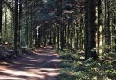
Randonnée Moteur de 85 km à découvrir à Occitanie, Tarn, Terre-de-Bancalié. Cette randonnée est proposée par jpipacific.
avec Bernard et son Defender
A pied

Marche
Marche
Marche
Marche
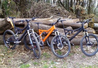
V.T.T.
Marche
Marche

Vélo électrique