


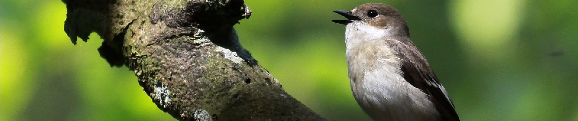
Wellin, A la découverte de la forêt subnaturelle

grande_foret_sthubert
Utilisateur GUIDE
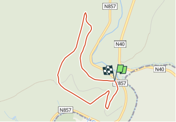

Longueur
3,6 km

Altitude max
364 m

Dénivelé positif
171 m
Km-Effort
5,9 km

Altitude min
222 m

Dénivelé négatif
168 m
Boucle
Oui
Date de création :
2018-06-26 13:55:09.235
Dernière modification :
2023-01-23 13:08:24.139
1h15
Difficulté : Inconnu

Application GPS de randonnée GRATUITE
 SityTrail
IGN / Instituts géographiques
SityTrail Plus
Le monde est à vous
À propos
Randonnée Marche de 3,6 km à découvrir à Wallonie, Luxembourg, Wellin. Cette randonnée est proposée par grande_foret_sthubert.
Photos


Localisation
Pays :
Belgique
Région :
Wallonie
Département/Province :
Luxembourg
Commune :
Wellin
Localité :
Unknown
Départ:(Dec)
Départ:(UTM)
652952 ; 5545703 (31U) N.
Commentaires
mooie avontuurlijke wandeling, een uitdaging voor een flinke kleuter
De tocht lijkt nog maar half te kloppen