


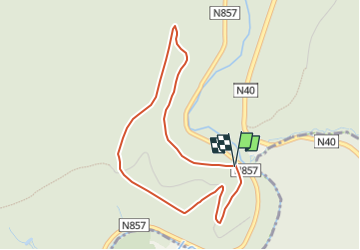


26 km | 33 km-effort


Gebruiker GUIDE


Gratisgps-wandelapplicatie
 SityTrail
IGN / Geografische instituten
SityTrail World
De wereld gaat voor u open
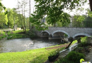
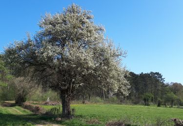
Tocht Stappen van 3,6 km beschikbaar op Wallonië, Luxemburg, Wellin. Deze tocht wordt voorgesteld door grande_foret_sthubert.

Stappen

Stappen

Stappen
Stappen
Stappen

Stappen
Stappen

Stappen
Te voet
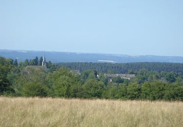
mooie avontuurlijke wandeling, een uitdaging voor een flinke kleuter
De tocht lijkt nog maar half te kloppen