


13,4 km | 14,6 km-effort
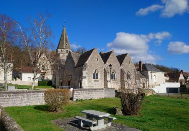
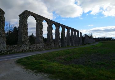
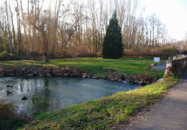
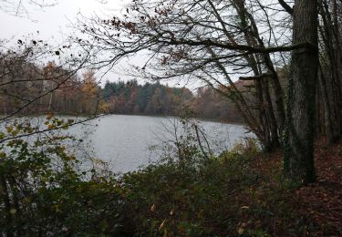
Marche
Marche
Marche
Marche
Marche
Marche
Marche
Marche
Marche
Marche
Marche
Marche
Marche
Marche
Marche
Marche
Marche
Marche
Marche
Marche
Marche