


14 km | 16,5 km-effort
Belgium: Scopri i 21 migliori percorsi escursionistici a piedi e in bicicletta. Il catalogo curato dai nostri escursionisti è pieno di bei paesaggi che aspettano solo di essere esplorati. Scarica questi percorsi in SityTrail, la nostra applicazione di GPS da escursionismo gratuita disponibile per Android e iOS.
Canoa - kayak


Motoscafo

Canoa - kayak
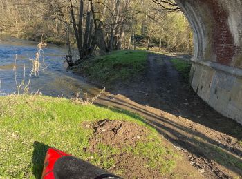
Canoa - kayak
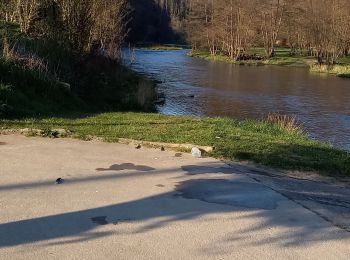
Canoa - kayak
Canoa - kayak
Canoa - kayak
Canoa - kayak
Immersione
Canoa - kayak
• La vallée de la Semois, vous connaissez ? Je vous emmène aujourd’hui à la découverte de sa partie namuroise. Le but d...
Barca a vela
Canoa - kayak
Canoa - kayak
Canoa - kayak
Canoa - kayak
Nuoto
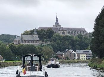
Motoscafo
Canoa - kayak
Canoa - kayak
Canoa - kayak
20 percorsi visualizzati su 21
Applicazione GPS da escursionismo GRATUITA
 SityTrail
IGN / Istituti geografici
SityTrail World
Il mondo è tuo