


14 km | 16.5 km-effort
Belgium: Discover the 22 best hiking and cycling trail ideas. Our catalogue, manually prepared by our hikers, contains lots of beautiful landscapes to explore. Download these trails in SityTrail, our free hiking GPS application available on Android and iOS.
Canoe - kayak


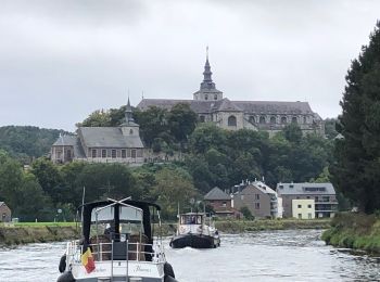
Motorboat

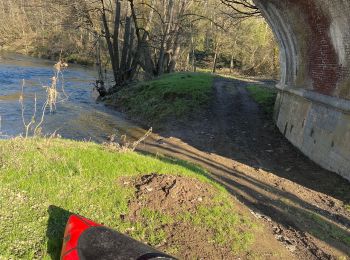
Canoe - kayak
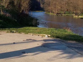
Canoe - kayak
Canoe - kayak
Canoe - kayak
Canoe - kayak
Canoe - kayak
Diving
Canoe - kayak
• La vallée de la Semois, vous connaissez ? Je vous emmène aujourd’hui à la découverte de sa partie namuroise. Le but d...
Sailboat
Canoe - kayak
Canoe - kayak
Canoe - kayak
Canoe - kayak
Canoe - kayak
Swimming
Motorboat
Canoe - kayak
Canoe - kayak
20 trails displayed on 22
FREE GPS app for hiking
 SityTrail
IGN / Geographical institutes
SityTrail World
The world is yours!