


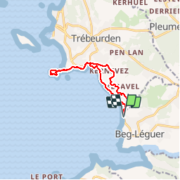

12.1 km | 14.9 km-effort


User


FREE GPS app for hiking
 SityTrail
IGN / Geographical institutes
SityTrail World
The world is yours!
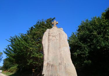
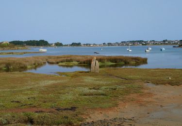
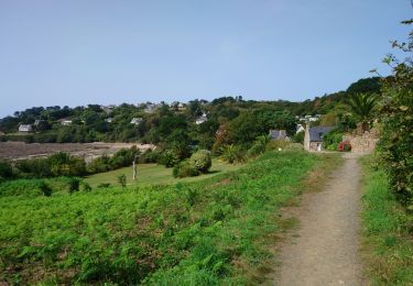
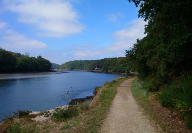
Trail Walking of 10.4 km to be discovered at Brittany, Côtes-d'Armor, Lannion. This trail is proposed by JADES22.

Walking
Walking
Walking
Walking
Walking
Walking

Walking
Walking
Walking