


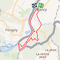

19.4 km | 27 km-effort


User


FREE GPS app for hiking
 SityTrail
IGN / Geographical institutes
SityTrail World
The world is yours!
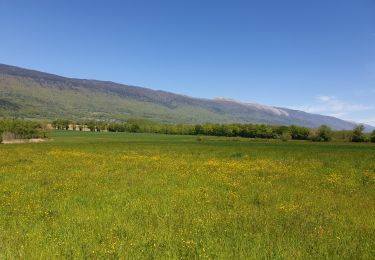
Trail Other activity of 7 km to be discovered at Geneva, Unknown, Chancy. This trail is proposed by Dgubler.
Petite excursion en terrain plat vers le point le plus occidental de Suisse. Départ de la mairie de Chancy. Chemin aller le long du Rhône, retour par le bois de Fargout. Regardez bien les bornes frontières: les bornes modernes ont un S côté suisse, et un F côté français. Mais certaines bornes on le S côté français: elles ont été posées quand la Savoie était sarde, et le G côté Genève date d''avant l''entrée dans la Confédération. Autre point d''intérêt: les ruines d''un oppidum romain (les trouverez-vous?)
Côté flore, faites l''excursion en mars et trouvez de l''ail des ours.
A hike to the western-most point of Switzerland. Interesting border stones where the Republic of Geneva used to be the neighbour of the Kingdom of Sardinia. And a chance to pick up bear garlic if you hike in March.
Walking
Walking
Walking

Walking

Horseback riding
Walking
Horseback riding
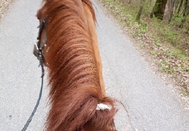
Equestrian