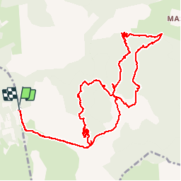

13.5 km | 15.6 km-effort


User


FREE GPS app for hiking
 SityTrail
IGN / Geographical institutes
SityTrail World
The world is yours!
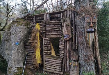
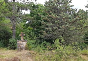
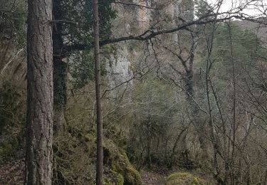
Trail Walking of 15.6 km to be discovered at Occitania, Aveyron, L'Hospitalet-du-Larzac. This trail is proposed by limo12.

Walking
Walking
Nordic walking

Walking

Mountain bike
Walking