


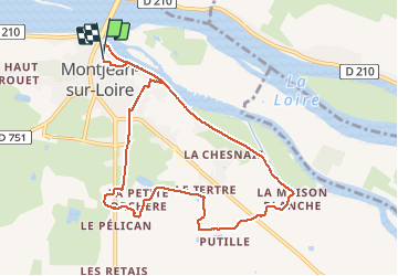

13.3 km | 16.3 km-effort

User


FREE GPS app for hiking
 SityTrail
IGN / Geographical institutes
SityTrail World
The world is yours!
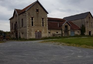
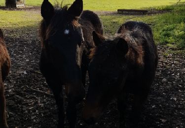
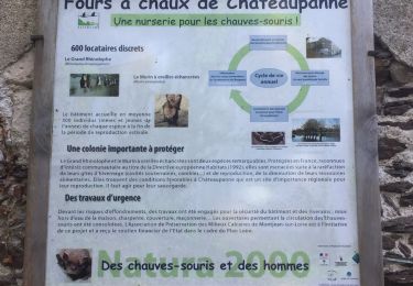
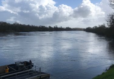
Trail Other activity of 9.2 km to be discovered at Pays de la Loire, Maine-et-Loire, Mauges-sur-Loire. This trail is proposed by bellicaud.


Walking
On foot
Walking
Walking

Other activity
Walking
Nordic walking

Walking

Mountain bike
trop de route et pas ombragé