


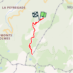

15.3 km | 31 km-effort

User


FREE GPS app for hiking
 SityTrail
IGN / Geographical institutes
SityTrail World
The world is yours!
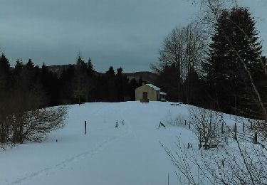
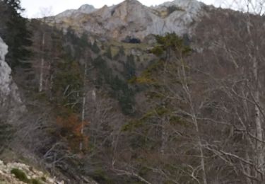
Trail Walking of 11.2 km to be discovered at Occitania, Ariège, Montferrier. This trail is proposed by jopost.
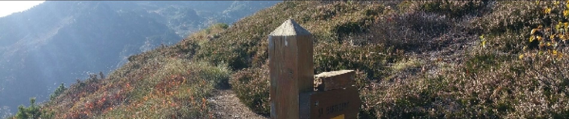
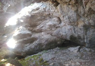
départ du parking, en 15mn vous arrivez à l'étang de Moulzoune, continuer en direction du Pic St Barthélemy jusqu'aux panneaux pour l'étang des truites et du diable, quelques rochers, faites attention puis arrivée à l’Étang, retour par le même sentier


Walking

Walking

Walking
Walking
Snowshoes

Walking

Walking
Other activity