


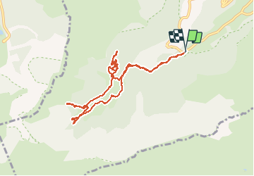

1.4 km | 2.7 km-effort

User


FREE GPS app for hiking
 SityTrail
IGN / Geographical institutes
SityTrail World
The world is yours!
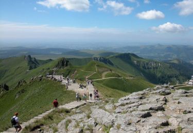
Trail Snowshoes of 10.6 km to be discovered at Auvergne-Rhône-Alpes, Puy-de-Dôme, Chambon-sur-Lac. This trail is proposed by PatDev.
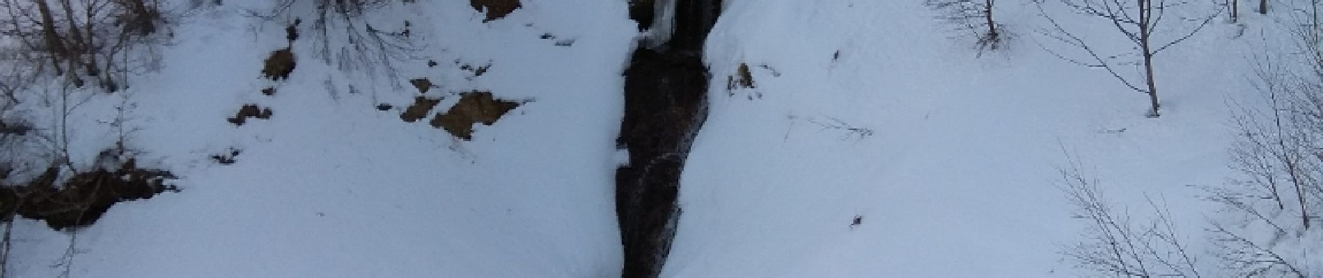
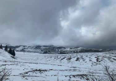
tentative de montée sur les crêtes par le chemin à droite mais trop difficile avec la neige donc visite au fond du cirque et cascade des moines


Walking
Walking

Walking
Walking
Walking
Walking

Walking

Walking
On foot