


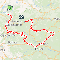

8.3 km | 11.1 km-effort


User


FREE GPS app for hiking
 SityTrail
IGN / Geographical institutes
SityTrail World
The world is yours!
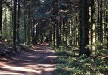
Trail Motor of 85 km to be discovered at Occitania, Tarn, Terre-de-Bancalié. This trail is proposed by jpipacific.
avec Bernard et son Defender
On foot

Walking
Walking
Walking
Walking
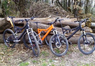
Mountain bike
Walking
Walking

Electric bike